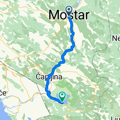
Maršala Tita to 8RXJ+W7P
- 6.9 km
- 474 m
- 65 m
- Mostar, Federation of Bosnia and Herzegovina, Bosnia and Herzegovina
A cycling route starting in Mostar, Federation of Bosnia and Herzegovina, Bosnia and Herzegovina.
Overview
created this 4 years ago
Route quality
Road
19.3 km
(45 %)
Quiet road
16.8 km
(39 %)
Paved
30.5 km
(71 %)
Asphalt
30.5 km
(71 %)
Undefined
12.5 km
(29 %)
Route highlights
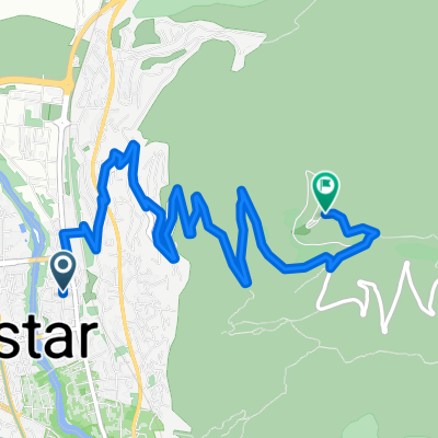
Werk 9 Fortress
Merdzan Glava Fortress
Restaurant Montanaro
Zip Line
Continue with Bikemap
You would like to ride Stazom Austrougarskih utvrda or customize it for your own trip? Here is what you can do with this Bikemap route:
Free trial for 3 days, or one-time payment. More about Bikemap Premium.
Discover more Premium features.
Get Bikemap PremiumFrom our community
Open it in the app