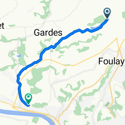
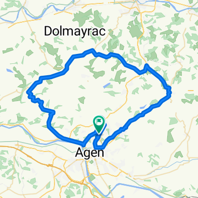
Tour de Bordeaux
A cycling route starting in Foulayronnes, Aquitaine-Limousin-Poitou-Charentes, France.
Overview
About this route
4 TdB
- -:--
- Duration
- 149.4 km
- Distance
- 2,126 m
- Ascent
- 2,094 m
- Descent
- ---
- Avg. speed
- 340 m
- Avg. speed
Route quality
Waytypes & surfaces along the route
Waytypes
Quiet road
75.3 km
(50 %)
Road
48.3 km
(32 %)
Surfaces
Paved
46.7 km
(31 %)
Unpaved
2.5 km
(2 %)
Asphalt
46.6 km
(31 %)
Gravel
1.5 km
(1 %)
Route highlights
Points of interest along the route
Point of interest after 59.7 km
Point of interest after 145.7 km
Continue with Bikemap
Use, edit, or download this cycling route
You would like to ride Tour de Bordeaux or customize it for your own trip? Here is what you can do with this Bikemap route:
Free features
- Save this route as favorite or in collections
- Copy & plan your own version of this route
- Sync your route with Garmin or Wahoo
Premium features
Free trial for 3 days, or one-time payment. More about Bikemap Premium.
- Navigate this route on iOS & Android
- Export a GPX / KML file of this route
- Create your custom printout (try it for free)
- Download this route for offline navigation
Discover more Premium features.
Get Bikemap PremiumFrom our community
Other popular routes starting in Foulayronnes
- Tour de Bordeaux
- Distance
- 149.4 km
- Ascent
- 2,126 m
- Descent
- 2,094 m
- Location
- Foulayronnes, Aquitaine-Limousin-Poitou-Charentes, France
- Foulayronnes#1
- Distance
- 54.8 km
- Ascent
- 547 m
- Descent
- 545 m
- Location
- Foulayronnes, Aquitaine-Limousin-Poitou-Charentes, France
- Foulayronnes-Nérac
- Distance
- 520.1 km
- Ascent
- 332 m
- Descent
- 456 m
- Location
- Foulayronnes, Aquitaine-Limousin-Poitou-Charentes, France
- 254 Lasfargues, Laugnac to Place du Café, Le Temple-sur-Lot
- Distance
- 17.1 km
- Ascent
- 222 m
- Descent
- 363 m
- Location
- Foulayronnes, Aquitaine-Limousin-Poitou-Charentes, France
- De Rue de l'Aubisque 2, Foulayronnes à Bouniagues
- Distance
- 72.6 km
- Ascent
- 1,020 m
- Descent
- 1,052 m
- Location
- Foulayronnes, Aquitaine-Limousin-Poitou-Charentes, France
- 2362–2558 Route du Lot, Laugnac to 1221 Route de Montpezat, Cours
- Distance
- 2.6 km
- Ascent
- 84 m
- Descent
- 20 m
- Location
- Foulayronnes, Aquitaine-Limousin-Poitou-Charentes, France
- Autour Maison
- Distance
- 28.4 km
- Ascent
- 663 m
- Descent
- 632 m
- Location
- Foulayronnes, Aquitaine-Limousin-Poitou-Charentes, France
- 657 Route de Lasbordes, Madaillan à 690 Route de Garitor, Saint-Hilaire-de-Lusignan
- Distance
- 5.7 km
- Ascent
- 97 m
- Descent
- 120 m
- Location
- Foulayronnes, Aquitaine-Limousin-Poitou-Charentes, France
Open it in the app