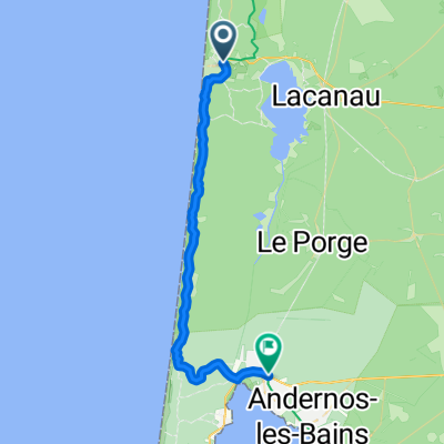
Tour de Bordeaux

A cycling route starting in Arès, Nouvelle-Aquitaine, France.
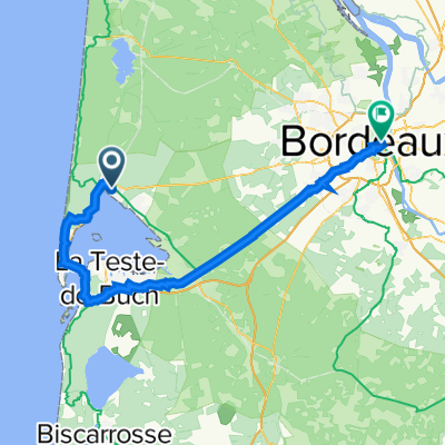
OverviewAbout this route
-:--
Duration
138.5 km
Distance
371 m
Ascent
357 m
Descent
---
Avg. speed
52 m
Max. altitude
emilio57created this 4 years ago
Route qualityWaytypes & surfaces along the route
Waytypes
  • Cycleway

    62.3 km45 %
  • Quiet road

    29.1 km21 %
  • Road

    19.4 km14 %
Surfaces

Paved

87.2 km(63 %)

Unpaved

1.4 km(1 %)
  • Asphalt

    85.9 km62 %
  • Paved (undefined)

    1.4 km1 %
  • Ground

    1.4 km1 %
Route highlightsPoints of interest along the route
  1. Point of interest after 0 km

  2. Point of interest after 0 km

  3. Point of interest after 0 km

  4. Point of interest after 0 km

  5. Point of interest after 0 km

  6. Point of interest after 40.2 km

  7. Point of interest after 86.4 km

  8. Point of interest after 135.7 km

  9. Point of interest after 138.2 km

  10. Point of interest after 138.2 km

  11. Point of interest after 138.2 km

  12. Point of interest after 138.2 km

  13. Point of interest after 138.2 km

  14. Point of interest after 138.4 km

  15. Point of interest after 138.4 km

  16. Point of interest after 138.4 km

  17. Point of interest after 138.4 km

Continue with BikemapUse, edit, or download this cycling route
You would like to ride Tour de Bordeaux or customize it for your own trip? Here is what you can do with this Bikemap route:
Free features
Premium features

Free trial for 3 days, or one-time payment. More about Bikemap Premium.

  • Navigate this route on iOS & Android
  • Export a GPX / KML file of this route
  • Create your custom printout (try it for free)
  • Download this route for offline navigation

Discover more Premium features.

Get Bikemap Premium
From our communityOther popular routes starting in Arès

Open it in the app