1# Aarau - St. Imier
- 111.1 km
- 2,321 m
- 1,902 m
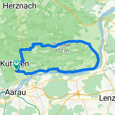
- Küttigen, Canton of Aargau, Switzerland
A cycling route starting in Küttigen, Canton of Aargau, Switzerland.
Overview
From the forest house, take the first narrow path down to the right (S2/S3). Then turn left uphill and at the first fork turn right. At the edge of the forest, a narrow uphill trail branches off to the left (U1). Follow until the Gehrenhöhe parking lot. There, to the right of the wooden sign, head southeast up the path and follow to the next forest path (U2). There, turn left (tempting to go straight... BUT no biking allowed!!) At the next forest path, turn left down to the parking lot and return via the narrow path. The first descent as an uphill back to the forest house (U2).
created this 4 years ago
Route quality
Track
2.5 km
(68 %)
Path
0.7 km
(19 %)
Unpaved
2.8 km
(77 %)
Gravel
2.2 km
(60 %)
Ground
0.3 km
(9 %)
Continue with Bikemap
You would like to ride Gehren-up-and downhill or customize it for your own trip? Here is what you can do with this Bikemap route:
Free trial for 3 days, or one-time payment. More about Bikemap Premium.
Discover more Premium features.
Get Bikemap PremiumFrom our community
Open it in the app