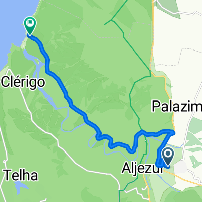
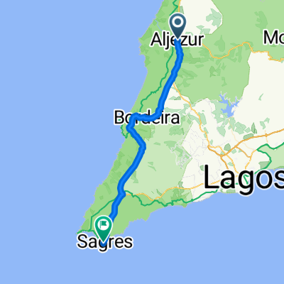
23rd Dec (easy mode)
A cycling route starting in Aljezur, Faro District, Portugal.
Overview
About this route
Alternate route via Sagres if you want to stick to the coast
- -:--
- Duration
- 60.7 km
- Distance
- 785 m
- Ascent
- 812 m
- Descent
- ---
- Avg. speed
- 160 m
- Max. altitude
Route quality
Waytypes & surfaces along the route
Waytypes
Busy road
16.3 km
(27 %)
Track
16 km
(26 %)
Surfaces
Paved
19.5 km
(32 %)
Unpaved
16.9 km
(28 %)
Asphalt
18.9 km
(31 %)
Gravel
9 km
(15 %)
Continue with Bikemap
Use, edit, or download this cycling route
You would like to ride 23rd Dec (easy mode) or customize it for your own trip? Here is what you can do with this Bikemap route:
Free features
- Save this route as favorite or in collections
- Copy & plan your own version of this route
- Sync your route with Garmin or Wahoo
Premium features
Free trial for 3 days, or one-time payment. More about Bikemap Premium.
- Navigate this route on iOS & Android
- Export a GPX / KML file of this route
- Create your custom printout (try it for free)
- Download this route for offline navigation
Discover more Premium features.
Get Bikemap PremiumFrom our community
Other popular routes starting in Aljezur
- aljesur - luz de lagos MTB 106km
- Distance
- 106.3 km
- Ascent
- 684 m
- Descent
- 719 m
- Location
- Aljezur, Faro District, Portugal
- Rota Vicentina 08
- Distance
- 11.7 km
- Ascent
- 233 m
- Descent
- 234 m
- Location
- Aljezur, Faro District, Portugal
- Deutschland - Portugal (Berlin - Faro) PT 22 Aljezur - Sagres
- Distance
- 46.9 km
- Ascent
- 367 m
- Descent
- 351 m
- Location
- Aljezur, Faro District, Portugal
- Camino Santiago. 5.Algezur / Porto Covo (Secundaria)
- Distance
- 75.5 km
- Ascent
- 407 m
- Descent
- 387 m
- Location
- Aljezur, Faro District, Portugal
- Portugal Radtour Tag 5.
- Distance
- 53.6 km
- Ascent
- 416 m
- Descent
- 396 m
- Location
- Aljezur, Faro District, Portugal
- Aljezur - Foia - Aljezur
- Distance
- 69 km
- Ascent
- 1,714 m
- Descent
- 1,700 m
- Location
- Aljezur, Faro District, Portugal
- Rota Vicentina - Ponta da Atalaia
- Distance
- 14.1 km
- Ascent
- 258 m
- Descent
- 215 m
- Location
- Aljezur, Faro District, Portugal
- Aljezur-Sagres
- Distance
- 68.4 km
- Ascent
- 789 m
- Descent
- 778 m
- Location
- Aljezur, Faro District, Portugal
Open it in the app