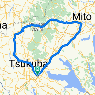
20160131
- 176.3 km
- 159 m
- 158 m
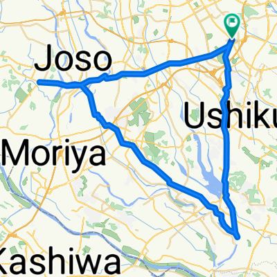
- Naka, Ibaraki, Japan
A cycling route starting in Naka, Ibaraki, Japan.
Overview
created this 4 years ago
Route quality
Quiet road
69.7 km
70 %
Path
13.9 km
14 %
Paved
86.6 km
(87 %)
Asphalt
80.6 km
81 %
Paved (undefined)
6 km
6 %
Undefined
12.9 km
13 %
Continue with Bikemap
You would like to ride 霞ヶ浦1周ショートコース or customize it for your own trip? Here is what you can do with this Bikemap route:
Free trial for 3 days, or one-time payment. More about Bikemap Premium.
Discover more Premium features.
Get Bikemap PremiumFrom our community
Open it in the app