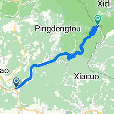
陽金P字山道

A cycling route starting in Taipei, Taipei, Taiwan.
OverviewAbout this route

 至善公園→仰德大道→陽明山國家公園遊客中心→竹子湖→陽金公路至高點(海拔約800M)→陽金公路(連續下坡約20K)→金山→萬里→大坪國小(海拔約400M陡下坡及髮夾彎)→風貴嘴至高點(海拔約600M)→(連續下坡約7K)→楓林橋→明德樂園→平菁路→平等國小(海拔約400M)→逃玩小鎮→青山小鎮→冷水坑

-:--
Duration
74.9 km
Distance
1,995 m
Ascent
1,604 m
Descent
---
Avg. speed
802 m
Max. altitude
Route qualityWaytypes & surfaces along the route
Waytypes
  • Road

    39.7 km53 %
  • Quiet road

    4.5 km6 %
  • Access road

    1.5 km2 %
Surfaces

Paved

36 km(48 %)
  • Asphalt

    34.5 km46 %
  • Paved (undefined)

    1.5 km2 %
  • Undefined

    39 km52 %
Route highlightsPoints of interest along the route
  1. Point of interest after 0 km

    至善公園

Continue with BikemapUse, edit, or download this cycling route
You would like to ride 陽金P字山道 or customize it for your own trip? Here is what you can do with this Bikemap route:
Free features
Premium features

Free trial for 3 days, or one-time payment. More about Bikemap Premium.

  • Navigate this route on iOS & Android
  • Export a GPX / KML file of this route
  • Create your custom printout (try it for free)
  • Download this route for offline navigation

Discover more Premium features.

Get Bikemap Premium
From our communityOther popular routes starting in Taipei

Open it in the app