

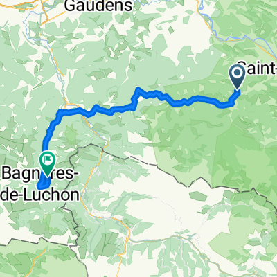
D10 Saint Girons-Ax les Termes
A cycling route starting in Saint-Girons, Occitanie, France.
Overview
About this route
- -:--
- Duration
- 101.6 km
- Distance
- 1,927 m
- Ascent
- 1,927 m
- Descent
- ---
- Avg. speed
- 1,250 m
- Max. altitude

Route quality
Waytypes & surfaces along the route
Waytypes
Road
35.6 km
(35 %)
Quiet road
5.1 km
(5 %)
Surfaces
Paved
62 km
(61 %)
Asphalt
62 km
(61 %)
Undefined
39.6 km
(39 %)
Route highlights
Points of interest along the route
Accommodation after 0 km
H08 Luz Saint Sauveur
Accommodation after 101.6 km
Prades
Continue with Bikemap
Use, edit, or download this cycling route
You would like to ride D10 Saint Girons-Ax les Termes or customize it for your own trip? Here is what you can do with this Bikemap route:
Free features
- Save this route as favorite or in collections
- Copy & plan your own version of this route
- Split it into stages to create a multi-day tour
- Sync your route with Garmin or Wahoo
Premium features
Free trial for 3 days, or one-time payment. More about Bikemap Premium.
- Navigate this route on iOS & Android
- Export a GPX / KML file of this route
- Create your custom printout (try it for free)
- Download this route for offline navigation
Discover more Premium features.
Get Bikemap PremiumFrom our community
Other popular routes starting in Saint-Girons
 4.Etappe: Massad - Audedressin
- Distance
- 98.1 km
- Ascent
- 2,740 m
- Descent
- 2,887 m
- Location
- Saint-Girons, Occitanie, France
 Itinéraire vers Ouerdes, Eycheil
- Distance
- 29.3 km
- Ascent
- 3,110 m
- Descent
- 3,199 m
- Location
- Saint-Girons, Occitanie, France
 etapa 3 - R
- Distance
- 111.4 km
- Ascent
- 2,627 m
- Descent
- 2,337 m
- Location
- Saint-Girons, Occitanie, France
 Transpi-carretera-gr10-parte2
- Distance
- 352.5 km
- Ascent
- 5,257 m
- Descent
- 5,748 m
- Location
- Saint-Girons, Occitanie, France
 TDP - ETAPE 10
- Distance
- 83 km
- Ascent
- 1,096 m
- Descent
- 1,348 m
- Location
- Saint-Girons, Occitanie, France
 E_Pyr_Massat-35
- Distance
- 34.9 km
- Ascent
- 1,125 m
- Descent
- 1,128 m
- Location
- Saint-Girons, Occitanie, France
 audressein- col de portech-col d'agnes-col de lers-les cabannes
- Distance
- 102.2 km
- Ascent
- 1,736 m
- Descent
- 1,727 m
- Location
- Saint-Girons, Occitanie, France
 MTB Pyrenäenrundfahrt 2 Moulis-Bagneres de Luchons
- Distance
- 75.4 km
- Ascent
- 2,268 m
- Descent
- 2,176 m
- Location
- Saint-Girons, Occitanie, France
Open it in the app