Glasson Gallimaufry
- 39.2 km
- 42 m
- 41 m
- Galgate, England, United Kingdom
A cycling route starting in Galgate, England, United Kingdom.
Overview
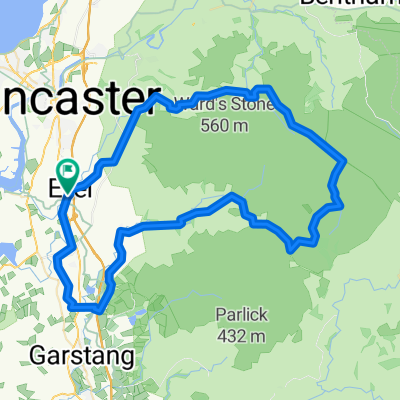
September 8, 2008. Today we started a half hour earlier than normal (8:00 instead of 8:30). It was a glorious day and we had not realized how pastorally "green and pleasant" is northern Lancashire just a few miles from the (former) dark satanic mills of Preston, Blackburn, Manchester, Liverpool and the dozens of factory towns in between. We turned east off the A6 at Galgate and took back roads through Oakenclough, Inglewhite, and Longridge (where we had coffee at a stylish cafe-wine bar internally integrated, we discovered on entering, with a hair salon. This was actually a short day of cycling - 37 miles in linear distance but about 4,000 feet in accumulated vertical assent. Half way to Blackburn we celebrated our "Everest moment" when the trip accumulated assent reached 29,028 feet. We began to wonder whether the line from the Beatles song was actually "there are 4,000 hills in Blackburn, Lancashire" but we eventually emerged into the rural road to Tockholes, where Charles I hid in a tree from Cromwell's army. Our cycling day ended with a relaxed late lunch at the canine-filled Royal Arms. Our hotel was The Lion, an old and quite large hotel on the High Street, of Shrewsbury.
created this 4 years ago


Route quality
Road
24.5 km
(42 %)
Quiet road
11.7 km
(20 %)
Paved
29.2 km
(50 %)
Asphalt
27.5 km
(47 %)
Paved (undefined)
1.8 km
(3 %)
Undefined
29.2 km
(50 %)
Continue with Bikemap
You would like to ride Day 8, 37 hilly miles from Lancaster to Tockholes or customize it for your own trip? Here is what you can do with this Bikemap route:
Free trial for 3 days, or one-time payment. More about Bikemap Premium.
Discover more Premium features.
Get Bikemap PremiumFrom our community
Open it in the app