Day 3
- 112.6 km
- 1,335 m
- 1,489 m
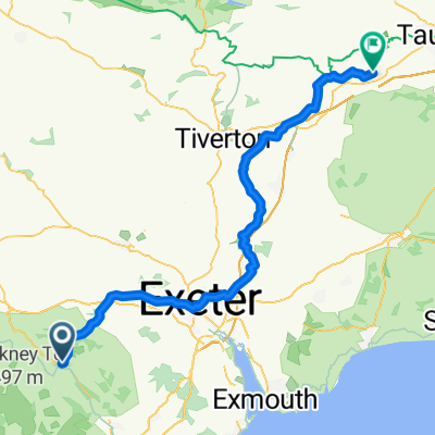
- Bovey Tracey, England, United Kingdom
A cycling route starting in Bovey Tracey, England, United Kingdom.
Overview
September 12, 2006. There was some light rain in the morning but it turned out to be a warm, muggy and occasionally sunny day. Among the recurrant hills in the 65 mile route from the White Hart to the seaside Porth Avellen just west of St. Austell, we saw many traffic warning signs for the 14% and 17% hills. We fortified ourselves with a spendid tea of biscuits, jam and clotted cream in Minions, "Cornwall's highest town" on the SE edge of Bodwin Moor. None of us wants to repeat the experience of fighting the traffic up and down hills on the the last 12 miles along the A390, especially in semi-fog conditions, but we were certainly ready for the beer and the shower waiting at the Porth Avallen, where we had our last elegant supper of the trip.
created this 4 years ago


Route quality
Road
34.2 km
(32 %)
Quiet road
23.5 km
(22 %)
Paved
63.1 km
(59 %)
Asphalt
63.1 km
(59 %)
Undefined
43.8 km
(41 %)
Continue with Bikemap
You would like to ride Day 12, 67 miles from Moretonhamstead to Carlyon Bay or customize it for your own trip? Here is what you can do with this Bikemap route:
Free trial for 3 days, or one-time payment. More about Bikemap Premium.
Discover more Premium features.
Get Bikemap PremiumFrom our community
Open it in the app