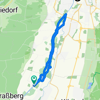
WestlichWälder_2011
A cycling route starting in Bobingen, Bavaria, Germany.
Overview
About this route
<html />
- -:--
- Duration
- 37.5 km
- Distance
- 0 m
- Ascent
- 0 m
- Descent
- ---
- Avg. speed
- ---
- Max. altitude
Route quality
Waytypes & surfaces along the route
Waytypes
Track
33.7 km
(90 %)
Quiet road
2.2 km
(6 %)
Surfaces
Paved
1.8 km
(5 %)
Unpaved
35.8 km
(95 %)
Loose gravel
16.6 km
(44 %)
Gravel
15.5 km
(41 %)
Continue with Bikemap
Use, edit, or download this cycling route
You would like to ride WestlichWälder_2011 or customize it for your own trip? Here is what you can do with this Bikemap route:
Free features
- Save this route as favorite or in collections
- Copy & plan your own version of this route
- Sync your route with Garmin or Wahoo
Premium features
Free trial for 3 days, or one-time payment. More about Bikemap Premium.
- Navigate this route on iOS & Android
- Export a GPX / KML file of this route
- Create your custom printout (try it for free)
- Download this route for offline navigation
Discover more Premium features.
Get Bikemap PremiumFrom our community
Other popular routes starting in Bobingen
- Augsburg-Rundfahrt
- Distance
- 59.5 km
- Ascent
- 107 m
- Descent
- 107 m
- Location
- Bobingen, Bavaria, Germany
- Lech - LL - Lechfeld - Runde
- Distance
- 68.3 km
- Ascent
- 127 m
- Descent
- 127 m
- Location
- Bobingen, Bavaria, Germany
- Anhauser Tal - Biburg - Aystetten - Neusäß - Runde
- Distance
- 47.5 km
- Ascent
- 220 m
- Descent
- 218 m
- Location
- Bobingen, Bavaria, Germany
- WestlichWälder_2011
- Distance
- 37.5 km
- Ascent
- 0 m
- Descent
- 0 m
- Location
- Bobingen, Bavaria, Germany
- Große Tour südlich von Augsburg
- Distance
- 34.7 km
- Ascent
- 184 m
- Descent
- 167 m
- Location
- Bobingen, Bavaria, Germany
- 2014 Bobingen - Stätzling - Bobingen
- Distance
- 63.3 km
- Ascent
- 143 m
- Descent
- 141 m
- Location
- Bobingen, Bavaria, Germany
- Bobingen-Stätzling
- Distance
- 69 km
- Ascent
- 177 m
- Descent
- 177 m
- Location
- Bobingen, Bavaria, Germany
- Flache bis hügelige Einkehrtour
- Distance
- 63.9 km
- Ascent
- 146 m
- Descent
- 146 m
- Location
- Bobingen, Bavaria, Germany
Open it in the app