In der Hardt 4, Nachrodt-Wiblingwerde nach In der Hardt 4, Nachrodt-Wiblingwerde
- 36.6 km
- 472 m
- 468 m
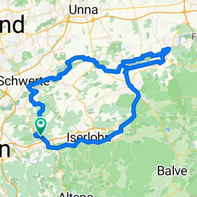
- Nachrodt-Wiblingwerde, North Rhine-Westphalia, Germany
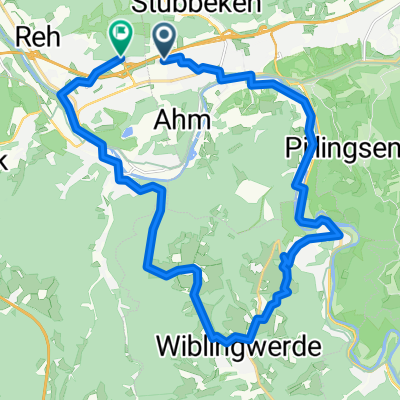
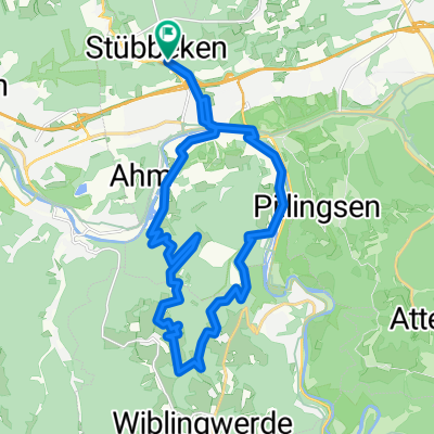
A cycling route starting in Nachrodt-Wiblingwerde, North Rhine-Westphalia, Germany.
Overview
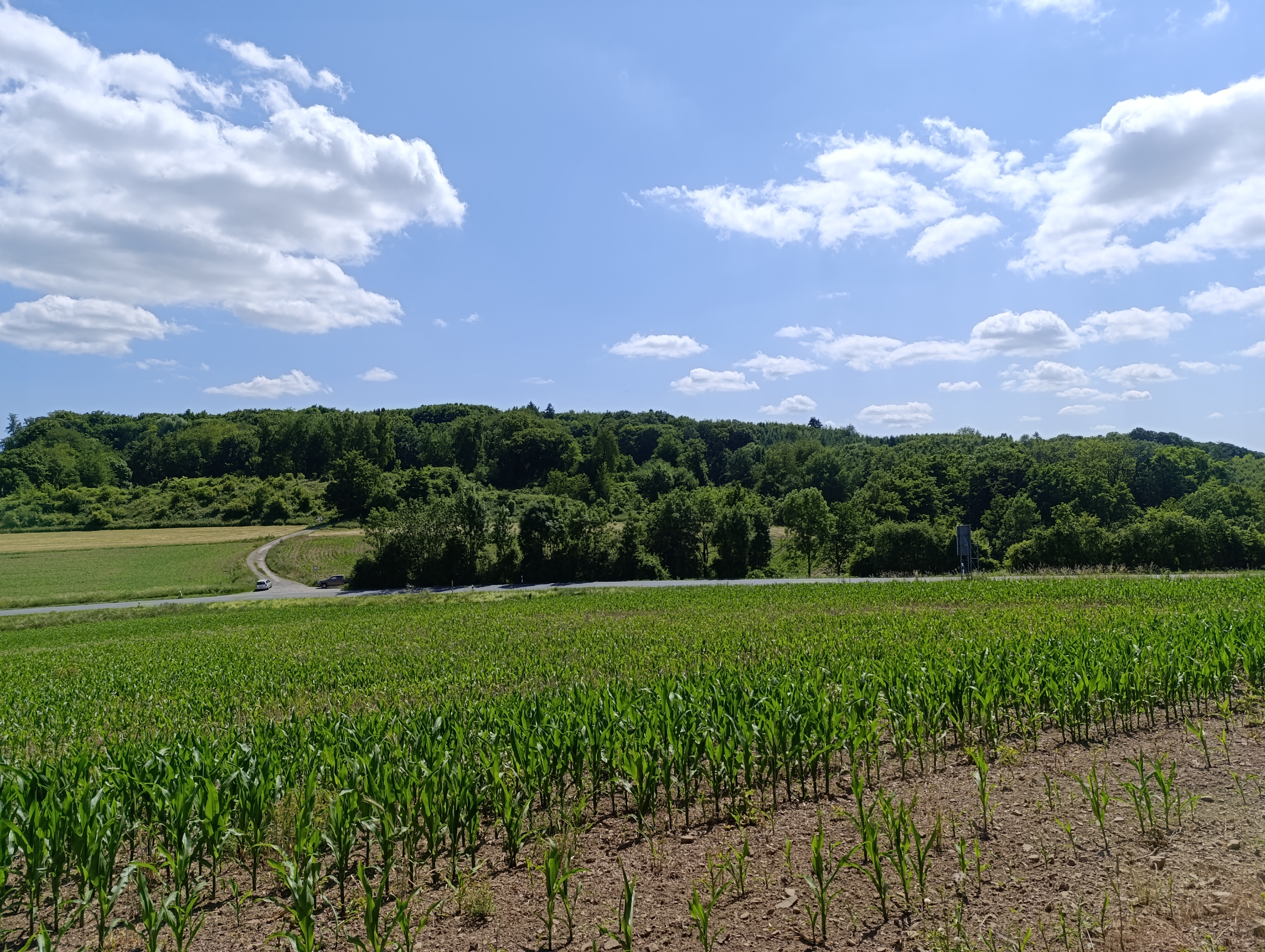
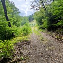
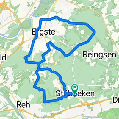
From Wiblingwerde via Hof Heide, 1.7 km downhill followed immediately by an uphill towards K 24. Cross the road and take the forest circular path about 9.5 km to the Lahmen Hasen exit. Continue on asphalt to Hohenlimburg and then uphill to the castle. Afterwards, ride the forest circular path (Röhrenweg/Piepenbrink) about 9.4 km counterclockwise. Once again above the castle, turn right onto the forest path Eselsweg, then ride the Schleipenbergstr./Hobräcker Weg about 3 km leading to Nahmer Schweiz. Turn onto Lahmen Hasen and continue on asphalt for about km until the 90° bend, then right onto the forest path running parallel to the Nahmertal valley to the Brenscheid junction. From there, again on asphalt towards Brenscheider Mühle, then about 900 m after the mill turn right onto a forest path leading to the hiking parking above Oevenscheid. Now take the L 692 to the Brenscheider Mühle junction, and after the entrance turn right onto the field path towards Brenscheid. Then on asphalt just before Brenscheid. There turn onto Alten Weg to go directly to the centre of Wiblingwerde.
created this 14 years ago
Route quality
Track
31.4 km
(65 %)
Quiet road
11.1 km
(23 %)
Paved
9.2 km
(19 %)
Unpaved
25.6 km
(53 %)
Gravel
15.4 km
(32 %)
Asphalt
9.2 km
(19 %)
Route highlights
Nachrodter Str. 10
Continue with Bikemap
You would like to ride Rund ums Schloß Hohenlimburg or customize it for your own trip? Here is what you can do with this Bikemap route:
Free trial for 3 days, or one-time payment. More about Bikemap Premium.
Discover more Premium features.
Get Bikemap PremiumFrom our community
Open it in the app