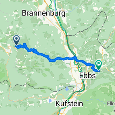
Rund um den Großen Traithen (ab/bis Bayrischzell)
- 33 km
- 1,213 m
- 1,213 m
- Bayrischzell, Bavaria, Germany
A cycling route starting in Bayrischzell, Bavaria, Germany.
Overview
created this 17 years ago
Route highlights

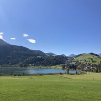
Bergpanorama, links der Brünnstein


Gaststätte Brünnsteinhaus

Bayrischzell
Continue with Bikemap
You would like to ride Bayrischzellrunde or customize it for your own trip? Here is what you can do with this Bikemap route:
Free trial for 3 days, or one-time payment. More about Bikemap Premium.
Discover more Premium features.
Get Bikemap PremiumFrom our community
Open it in the app