

Hoodoo 500
A cycling route starting in Washington, Utah, United States of America.
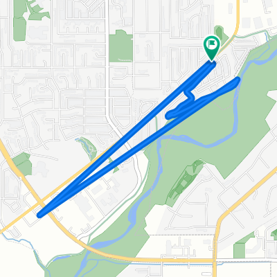
Overview
About this route
Statistics computed from imported data Distance: 512.3 miles Minimum Elevation: 2659 feet Maximum Elevation: 9779 feet Total climb: 26362 feet Total descent: 25787 feet
- -:--
- Duration
- 824.1 km
- Distance
- 21,082 m
- Ascent
- 20,908 m
- Descent
- ---
- Avg. speed
- 2,981 m
- Max. altitude
Route quality
Waytypes & surfaces along the route
Waytypes
Busy road
537.7 km
(65 %)
Cycleway
144.4 km
(18 %)
Surfaces
Paved
720.5 km
(87 %)
Unpaved
47 km
(6 %)
Asphalt
719.2 km
(87 %)
Gravel
21.9 km
(3 %)
Route highlights
Points of interest along the route
Point of interest after 380.6 km
Grover
Continue with Bikemap
Use, edit, or download this cycling route
You would like to ride Hoodoo 500 or customize it for your own trip? Here is what you can do with this Bikemap route:
Free features
- Save this route as favorite or in collections
- Copy & plan your own version of this route
- Split it into stages to create a multi-day tour
- Sync your route with Garmin or Wahoo
Premium features
Free trial for 3 days, or one-time payment. More about Bikemap Premium.
- Navigate this route on iOS & Android
- Export a GPX / KML file of this route
- Create your custom printout (try it for free)
- Download this route for offline navigation
Discover more Premium features.
Get Bikemap PremiumFrom our community
Other popular routes starting in Washington
 De Grapevine Crossing Rd, Washington a 19 N Main St, Cedar City
- Distance
- 77.7 km
- Ascent
- 1,061 m
- Descent
- 180 m
- Location
- Washington, Utah, United States of America
 288 E 200 N St, Washington to 18 S Main St, St. George
- Distance
- 43.7 km
- Ascent
- 593 m
- Descent
- 637 m
- Location
- Washington, Utah, United States of America
 Lee Lane 82, St. George to Lee Lane 82, St. George
- Distance
- 4.8 km
- Ascent
- 2 m
- Descent
- 3 m
- Location
- Washington, Utah, United States of America
 W Washington Pkwy, Washington to I-15 S, Washington
- Distance
- 6.8 km
- Ascent
- 154 m
- Descent
- 191 m
- Location
- Washington, Utah, United States of America
 288 E 200 N St, Washington to 268 E 200 N St, Washington
- Distance
- 11.2 km
- Ascent
- 132 m
- Descent
- 133 m
- Location
- Washington, Utah, United States of America
 North 6300 West 41, Hurricane to Davis Circle, St. George
- Distance
- 10.9 km
- Ascent
- 12 m
- Descent
- 171 m
- Location
- Washington, Utah, United States of America
 288 E 200 N St, Washington to 437 S Bluff St, St. George
- Distance
- 10.5 km
- Ascent
- 63 m
- Descent
- 113 m
- Location
- Washington, Utah, United States of America
 Hoodoo 500
- Distance
- 824.1 km
- Ascent
- 21,082 m
- Descent
- 20,908 m
- Location
- Washington, Utah, United States of America
Open it in the app