2025 Erfurt-Nürnberg 02
- 84.4 km
- 599 m
- 745 m
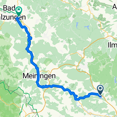
- Schleusingen, Thuringia, Germany
A cycling route starting in Schleusingen, Thuringia, Germany.
Overview
from Scheusingen to Ebenhards via Rappelsdorf, Zollbrück, Ehrenberg; Siegritz
created this 14 years ago
Continue with Bikemap
You would like to ride Schleusingen nach Ebenhards or customize it for your own trip? Here is what you can do with this Bikemap route:
Free trial for 3 days, or one-time payment. More about Bikemap Premium.
Discover more Premium features.
Get Bikemap PremiumFrom our community
Open it in the app