

Cieszyn-Tatry-Cieszyn
A cycling route starting in Cieszyn, Silesian Voivodeship, Poland.
Overview
About this route
The route was traversed in two days, August 27 and 28, 2002. Part of the last section towards the pass and the summit, I had to carry my bike. The descent early in the morning from Starorobociański Wierch 2176 m above sea level, the highest peak of the Polish Western Tatras. This is likely an unofficial record for the descent from the highest point in Poland.
- -:--
- Duration
- 371.9 km
- Distance
- 2,669 m
- Ascent
- 2,669 m
- Descent
- ---
- Avg. speed
- ---
- Max. altitude

Route highlights
Points of interest along the route

Point of interest after 196.8 km
Starorobociański Wierch 2176 m.
Continue with Bikemap
Use, edit, or download this cycling route
You would like to ride Cieszyn-Tatry-Cieszyn or customize it for your own trip? Here is what you can do with this Bikemap route:
Free features
- Save this route as favorite or in collections
- Copy & plan your own version of this route
- Split it into stages to create a multi-day tour
- Sync your route with Garmin or Wahoo
Premium features
Free trial for 3 days, or one-time payment. More about Bikemap Premium.
- Navigate this route on iOS & Android
- Export a GPX / KML file of this route
- Create your custom printout (try it for free)
- Download this route for offline navigation
Discover more Premium features.
Get Bikemap PremiumFrom our community
Other popular routes starting in Cieszyn
 Cieszyn-Wielki Połom 1067-cieszyn
- Distance
- 79.6 km
- Ascent
- 859 m
- Descent
- 859 m
- Location
- Cieszyn, Silesian Voivodeship, Poland
 Kubalonka - inaczej, trudniej !
- Distance
- 88.1 km
- Ascent
- 714 m
- Descent
- 714 m
- Location
- Cieszyn, Silesian Voivodeship, Poland
 Morawka
- Distance
- 88.4 km
- Ascent
- 1,102 m
- Descent
- 1,099 m
- Location
- Cieszyn, Silesian Voivodeship, Poland
 Cieszyn-Tatry-Cieszyn
- Distance
- 371.9 km
- Ascent
- 2,669 m
- Descent
- 2,669 m
- Location
- Cieszyn, Silesian Voivodeship, Poland
 W Dolomity (12 dni) 2002r
- Distance
- 2,273.5 km
- Ascent
- 34,645 m
- Descent
- 34,441 m
- Location
- Cieszyn, Silesian Voivodeship, Poland
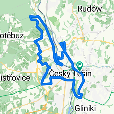 Cieszyn - Czeski Cieszyn "Bunkry"
- Distance
- 22.3 km
- Ascent
- 172 m
- Descent
- 173 m
- Location
- Cieszyn, Silesian Voivodeship, Poland
 Wokół Łysej Góry
- Distance
- 110.8 km
- Ascent
- 1,000 m
- Descent
- 1,000 m
- Location
- Cieszyn, Silesian Voivodeship, Poland
 Cieszyn-Dziegielow-Goleszow-Puncow-Cieszyn
- Distance
- 24.3 km
- Ascent
- 271 m
- Descent
- 276 m
- Location
- Cieszyn, Silesian Voivodeship, Poland
Open it in the app