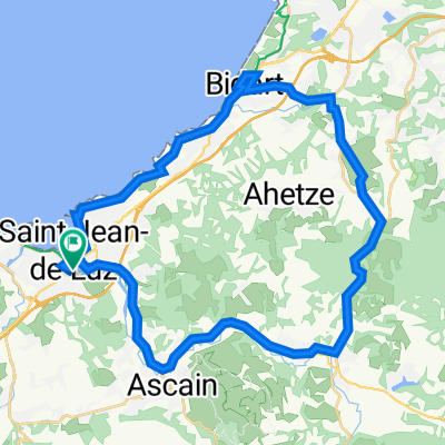
boucle Jaizkibel du C A B.
- 132.4 km
- 2,095 m
- 2,096 m
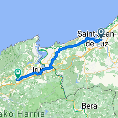
- Saint-Jean-de-Luz, Nouvelle-Aquitaine, France
A cycling route starting in Saint-Jean-de-Luz, Nouvelle-Aquitaine, France.
Overview
The start is at the train station in Saint-Jean-de-Luz.
This variant begins at the Atlantic and does not go over the Ibaneta Pass to Roncesvalles.
From km 295 to 316, the route is questionable.
created this 3 years ago
Continue with Bikemap
You would like to ride Jakobsweg Camino Francés V2 or customize it for your own trip? Here is what you can do with this Bikemap route:
Free trial for 3 days, or one-time payment. More about Bikemap Premium.
Discover more Premium features.
Get Bikemap PremiumFrom our community
Open it in the app