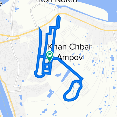
National Road 2 1675, Phnom Penh to GW2M+83G, Phnom Penh
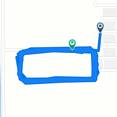
- 2 km
- 9 m
- 9 m
- Ta Khmau, Kandal, Cambodia
A cycling route starting in Ta Khmau, Kandal, Cambodia.
Overview
created this 3 years ago
Route quality
Access road
0.1 km
(11 %)
Quiet road
0.1 km
(6 %)
Undefined
0.9 km
(83 %)
Continue with Bikemap
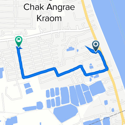
You would like to ride Khan Mean Chey, Phnom Penh to National Road 2 1675, Phnom Penh or customize it for your own trip? Here is what you can do with this Bikemap route:
Free trial for 3 days, or one-time payment. More about Bikemap Premium.
Discover more Premium features.
Get Bikemap PremiumFrom our community
Open it in the app