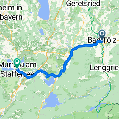
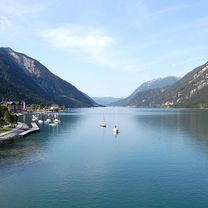
Bad Tölz - B307, Lenggries
- 24.6 km
- 270 m
- 166 m
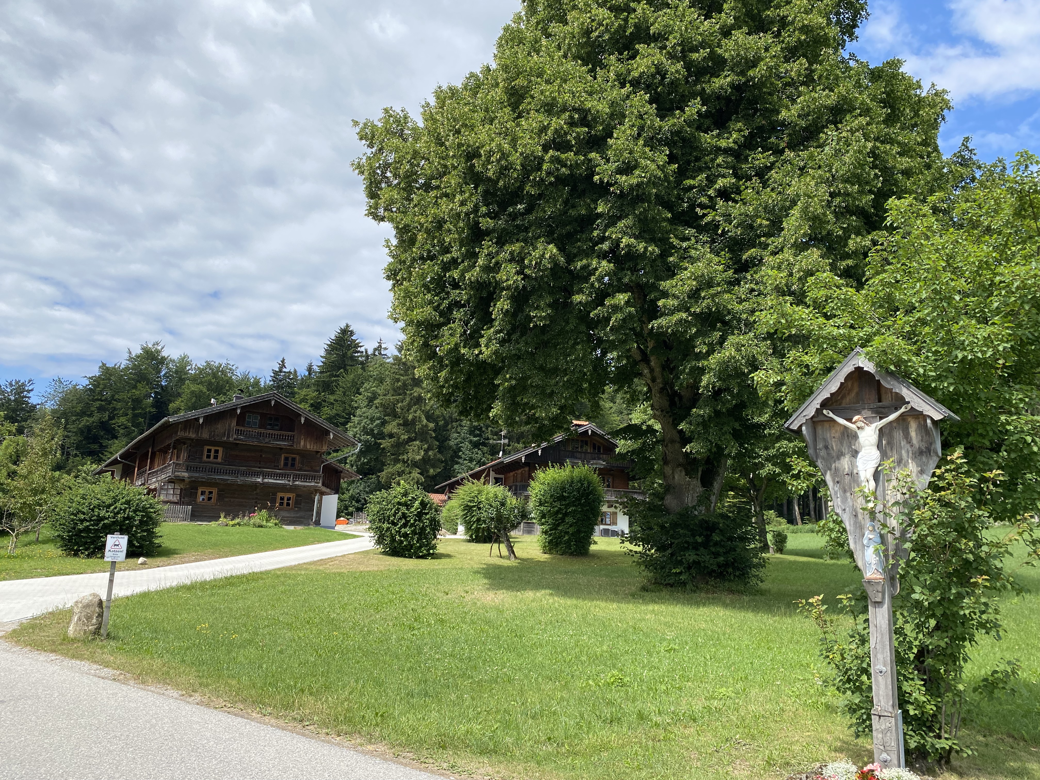
- Bad Tölz, Bavaria, Germany
München - Venezia 2022
A cycling route starting in Bad Tölz, Bavaria, Germany.
Overview
Gasthof Einhorn Schaller
Innsbrucker Straße 31, 6130 Schwaz, Østerrike
created this 3 years ago
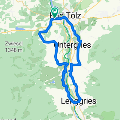
Part of
4 stages
Route quality
Track
31.8 km
(42 %)
Quiet road
13.6 km
(18 %)
Paved
52.2 km
(69 %)
Unpaved
22 km
(29 %)
Asphalt
51.5 km
(68 %)
Gravel
15.9 km
(21 %)
Continue with Bikemap
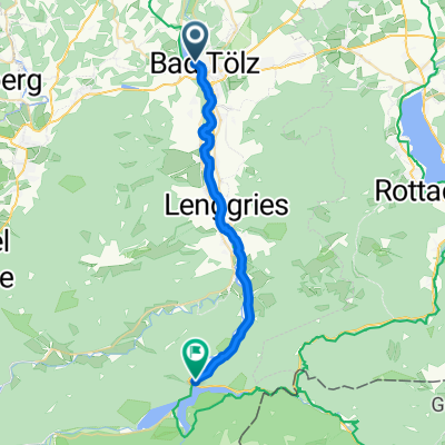
You would like to ride 2. etappe Bad Tölz - Achensee - Schwaz or customize it for your own trip? Here is what you can do with this Bikemap route:
Free trial for 3 days, or one-time payment. More about Bikemap Premium.
Discover more Premium features.
Get Bikemap PremiumFrom our community
Open it in the app