
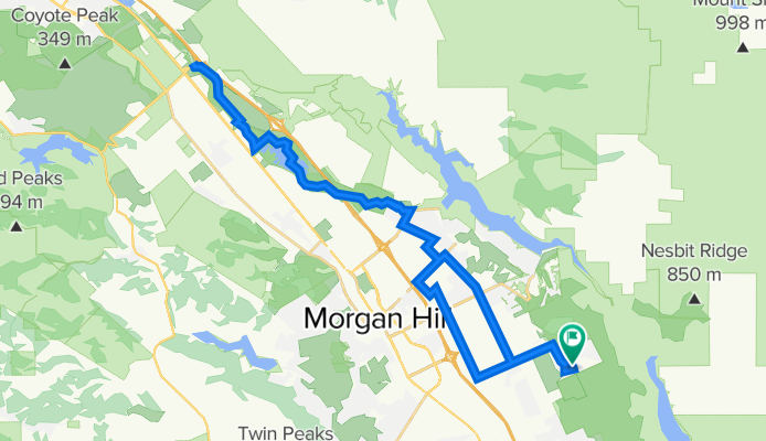
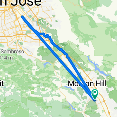
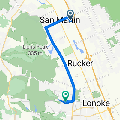
Paseo Robles Avenue 2915, San Martin to Paseo Robles Avenue 2915, San Martin
A cycling route starting in San Martin, California, United States of America.
Overview
About this route
- 19 h 46 min
- Duration
- 55.7 km
- Distance
- 342 m
- Ascent
- 342 m
- Descent
- 2.8 km/h
- Avg. speed
- 244 m
- Avg. speed

Route quality
Waytypes & surfaces along the route
Waytypes
Cycleway
34.6 km
(62 %)
Quiet road
9.6 km
(17 %)
Surfaces
Paved
35.7 km
(64 %)
Paved (undefined)
32.1 km
(58 %)
Asphalt
3.6 km
(7 %)
Undefined
19.9 km
(36 %)
Continue with Bikemap
Use, edit, or download this cycling route
You would like to ride Paseo Robles Avenue 2915, San Martin to Paseo Robles Avenue 2915, San Martin or customize it for your own trip? Here is what you can do with this Bikemap route:
Free features
- Save this route as favorite or in collections
- Copy & plan your own version of this route
- Sync your route with Garmin or Wahoo
Premium features
Free trial for 3 days, or one-time payment. More about Bikemap Premium.
- Navigate this route on iOS & Android
- Export a GPX / KML file of this route
- Create your custom printout (try it for free)
- Download this route for offline navigation
Discover more Premium features.
Get Bikemap PremiumFrom our community
Other popular routes starting in San Martin
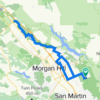 Paseo Robles Avenue 2915, San Martin to Paseo Robles Avenue 2915, San Martin
- Distance
- 55.7 km
- Ascent
- 342 m
- Descent
- 342 m
- Location
- San Martin, California, United States of America
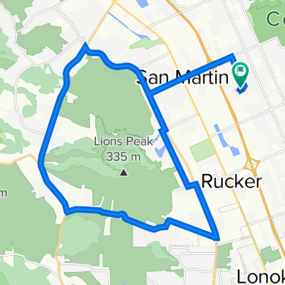 Lions Peak Loop
- Distance
- 28.7 km
- Ascent
- 153 m
- Descent
- 152 m
- Location
- San Martin, California, United States of America
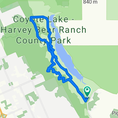
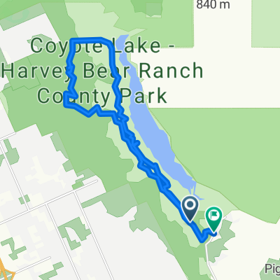 Harvey Bear
- Distance
- 17.9 km
- Ascent
- 539 m
- Descent
- 565 m
- Location
- San Martin, California, United States of America
 Easy Street 1170, Morgan Hill to Easy Street 1180, Morgan Hill
- Distance
- 52.3 km
- Ascent
- 159 m
- Descent
- 180 m
- Location
- San Martin, California, United States of America
 Steady ride in Gilroy
- Distance
- 19.1 km
- Ascent
- 421 m
- Descent
- 421 m
- Location
- San Martin, California, United States of America
 Slow ride in Gilroy
- Distance
- 14.8 km
- Ascent
- 385 m
- Descent
- 387 m
- Location
- San Martin, California, United States of America
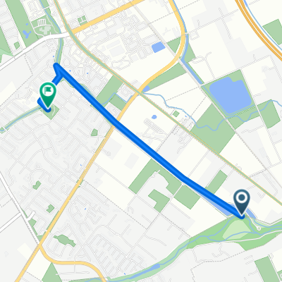 From San Martin to Morgan Hill
- Distance
- 3.3 km
- Ascent
- 4 m
- Descent
- 0 m
- Location
- San Martin, California, United States of America
 13030 Murphy Ave, San Martin to 1323 Pheasant Dr, Gilroy
- Distance
- 9.4 km
- Ascent
- 9 m
- Descent
- 29 m
- Location
- San Martin, California, United States of America
Open it in the app