Pyenees to the Alps day 6 a
- 85.6 km
- 690 m
- 564 m
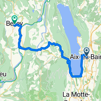
- Aix-les-Bains, Auvergne-Rhône-Alpes, France
A cycling route starting in Aix-les-Bains, Auvergne-Rhône-Alpes, France.
Overview
Via Annecy - more hills towards the end and then down into Talloires
Starting - Hotel Des Eaux - Aix-les-Bains
Finishing - Hotel Beau, Talloires
created this 4 years ago
Route quality
Road
22 km
33 %
Quiet road
8.7 km
13 %
Paved
50 km
(75 %)
Asphalt
48.7 km
73 %
Paved (undefined)
1.3 km
2 %
Undefined
16.7 km
25 %
Continue with Bikemap
You would like to ride 3 - Aux-Lex-Bains to Talloires - Backup 2 or customize it for your own trip? Here is what you can do with this Bikemap route:
Free trial for 3 days, or one-time payment. More about Bikemap Premium.
Discover more Premium features.
Get Bikemap PremiumFrom our community
Open it in the app