

a La Calderina (Urda, Toledo)
A cycling route starting in Miguelturra, Castille-La Mancha, Spain.
Overview
About this route
Route: Miguelturra - path to Torre - path from Miguelturra to Malagón - bridge of Mal Vecinos - path of the Carretas - path of Hurtado - path from Ciudad Real to Fuente el Fresno - Fuente el Fresno - Cañada Real Soriana - detour km 146 Casa de la Mina - path to Cabeza Quemada - forest house - ascent path to La Calderina - La Calderina - descent on the same path back to the forest house - path of la Zarzuela - Venta de la Zarzuela - cañada of Sta Quiteria - La Cruz de Piedra - houses of La Cruz de Piedra - Camino Real de Andalucía - Malagón - path from Malagón to Almagro - path from Malagón to Carrión de Cva - bridge of Malvecinos - path from Miguelturra to Malagón - path to Torre - Miguelturra
- -:--
- Duration
- 107.2 km
- Distance
- 658 m
- Ascent
- 658 m
- Descent
- ---
- Avg. speed
- ---
- Max. altitude

Continue with Bikemap
Use, edit, or download this cycling route
You would like to ride a La Calderina (Urda, Toledo) or customize it for your own trip? Here is what you can do with this Bikemap route:
Free features
- Save this route as favorite or in collections
- Copy & plan your own version of this route
- Split it into stages to create a multi-day tour
- Sync your route with Garmin or Wahoo
Premium features
Free trial for 3 days, or one-time payment. More about Bikemap Premium.
- Navigate this route on iOS & Android
- Export a GPX / KML file of this route
- Create your custom printout (try it for free)
- Download this route for offline navigation
Discover more Premium features.
Get Bikemap PremiumFrom our community
Other popular routes starting in Miguelturra
 a la Central Eléctrica del Martinete (ruinas) (Los Pozuelos de Cva)
- Distance
- 63.5 km
- Ascent
- 223 m
- Descent
- 226 m
- Location
- Miguelturra, Castille-La Mancha, Spain
 a la Central Eléctrica El Martinete (ruinas) y Alcolea de Cva
- Distance
- 69.6 km
- Ascent
- 291 m
- Descent
- 290 m
- Location
- Miguelturra, Castille-La Mancha, Spain
 a San Lorenzo de Calatrava
- Distance
- 94.8 km
- Ascent
- 932 m
- Descent
- 801 m
- Location
- Miguelturra, Castille-La Mancha, Spain
 al Molino de Molemocho (Tablas de Daimiel)
- Distance
- 73.8 km
- Ascent
- 103 m
- Descent
- 106 m
- Location
- Miguelturra, Castille-La Mancha, Spain
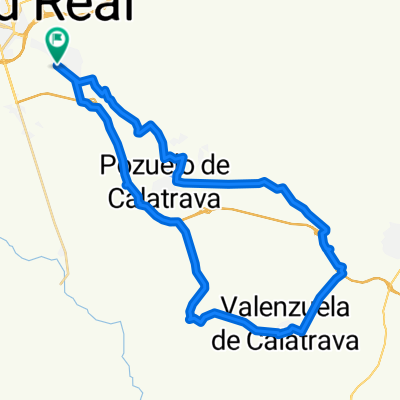 a Almagro y Valenzuela de Cva
- Distance
- 46 km
- Ascent
- 191 m
- Descent
- 190 m
- Location
- Miguelturra, Castille-La Mancha, Spain
 a Ermita de la Virgen de Montserrat (Malagón)
- Distance
- 87.4 km
- Ascent
- 451 m
- Descent
- 454 m
- Location
- Miguelturra, Castille-La Mancha, Spain
 a Picón y Alcolea de Calatrava
- Distance
- 59.6 km
- Ascent
- 340 m
- Descent
- 340 m
- Location
- Miguelturra, Castille-La Mancha, Spain
 a La Calderina (Urda, Toledo)
- Distance
- 107.2 km
- Ascent
- 658 m
- Descent
- 658 m
- Location
- Miguelturra, Castille-La Mancha, Spain
Open it in the app