500 Hm - 4 Schluchten Tour zwischen Ammer- und Starnberger See
- 46.1 km
- 451 m
- 451 m
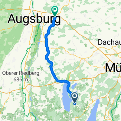
- Andechs, Bavaria, Germany
A cycling route starting in Andechs, Bavaria, Germany.
Overview
On the rooted single trails, a bit of riding technique is required and some of the single trails are hard to recognize.
Moderate fitness needed (about 500 m of elevation gain).
Scenically a great tour!
created this 14 years ago
Route quality
Track
26.3 km
57 %
Quiet road
11.1 km
24 %
Paved
13.4 km
(29 %)
Unpaved
27.7 km
(60 %)
Gravel
20.3 km
44 %
Asphalt
12.4 km
27 %
Route highlights

Golf Club Hohenpähl

Waldschmidtschlucht
Continue with Bikemap
You would like to ride 500 Hm - 4 Schluchten Tour zwischen Ammer- und Starnberger See or customize it for your own trip? Here is what you can do with this Bikemap route:
Free trial for 3 days, or one-time payment. More about Bikemap Premium.
Discover more Premium features.
Get Bikemap PremiumFrom our community
Open it in the app