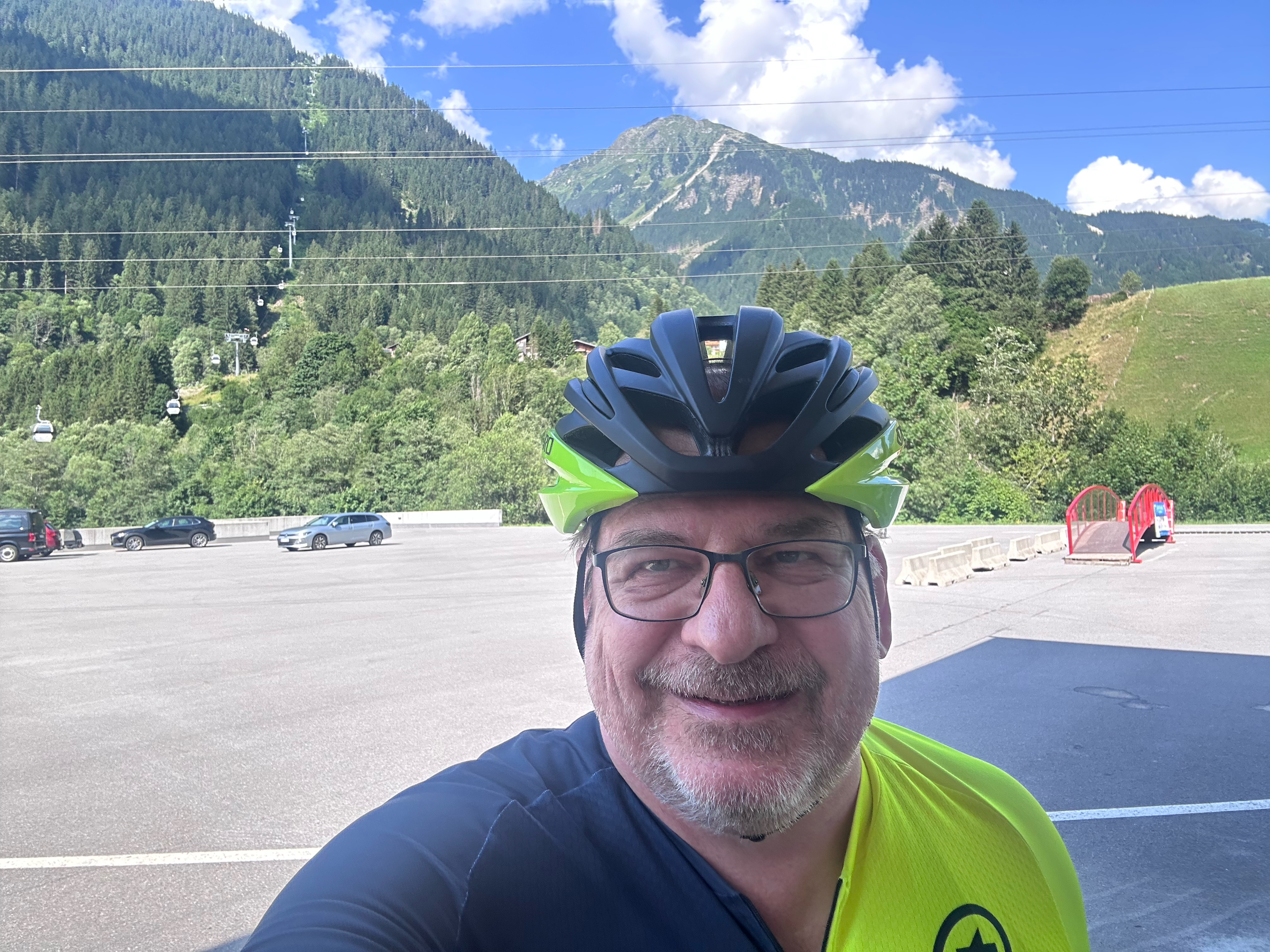


MeHC 2023
- 9.9 km
- 1,174 m
- 6 m
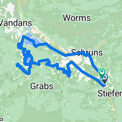
- Schruns, Vorarlberg, Austria
A cycling route starting in Schruns, Vorarlberg, Austria.
Overview
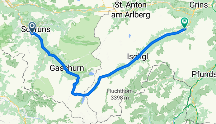
BAFGOR B = Bielerhöhe A = Arlberg Pass F = Flexen Pass G = Gaicht Pass O = Oberjoch Pass R = Rohrmoos Saddle
created this 14 years ago
Route quality
Quiet road
6.7 km
(9 %)
Cycleway
6 km
(8 %)
Paved
71.9 km
(96 %)
Unpaved
0.7 km
(1 %)
Asphalt
71.9 km
(96 %)
Gravel
0.7 km
(1 %)
Undefined
2.2 km
(3 %)
Continue with Bikemap
You would like to ride 2011_2_Vorarlberg-Tirol-Allgäu-Runde (BAFGOR)_Tschagguns - See or customize it for your own trip? Here is what you can do with this Bikemap route:
Free trial for 3 days, or one-time payment. More about Bikemap Premium.
Discover more Premium features.
Get Bikemap PremiumFrom our community
Open it in the app