

Poleski Park Narodowy
A cycling route starting in Gmina Ludwin, Lublin Voivodeship, Poland.
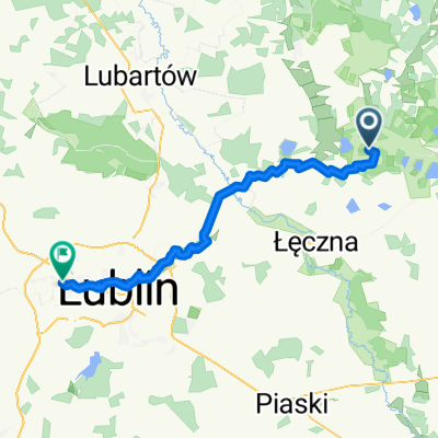
Overview
About this route
- -:--
- Duration
- 104.9 km
- Distance
- 310 m
- Ascent
- 310 m
- Descent
- ---
- Avg. speed
- 205 m
- Max. altitude

Route quality
Waytypes & surfaces along the route
Waytypes
Road
55.3 km
(53 %)
Quiet road
21.5 km
(20 %)
Surfaces
Paved
58.2 km
(55 %)
Unpaved
13.6 km
(13 %)
Asphalt
48.8 km
(47 %)
Paved (undefined)
8.4 km
(8 %)
Route highlights
Points of interest along the route

Point of interest after 21.3 km
Jezioro Sumin

Point of interest after 31.8 km
Zadaszenie turystyczne

Point of interest after 33.6 km
Wieża widokowa (Jezioro Wytyckie)

Point of interest after 38.7 km
Pomnik Korpusu Ochrony Pogranicza w Wytycznie

Point of interest after 39 km
Zadaszenie turystyczne - Łowiszów

Point of interest after 39.5 km
Ośrodek edukacyjny PPN Zagroda Polskie Sioło

Point of interest after 40.3 km
Wieża widokowa "Durne Bagno"
Point of interest after 47.9 km
Ścieżka przyrodnicza "Perehod"

Point of interest after 59.5 km
Skansen w Holi

Point of interest after 67.8 km
"Dworek Kościuszki"
Point of interest after 77.7 km
Ścieżka przyrodnicza „Dąb Dominik”
Point of interest after 97.5 km
Jezioro Krasne
Continue with Bikemap
Use, edit, or download this cycling route
You would like to ride Poleski Park Narodowy or customize it for your own trip? Here is what you can do with this Bikemap route:
Free features
- Save this route as favorite or in collections
- Copy & plan your own version of this route
- Split it into stages to create a multi-day tour
- Sync your route with Garmin or Wahoo
Premium features
Free trial for 3 days, or one-time payment. More about Bikemap Premium.
- Navigate this route on iOS & Android
- Export a GPX / KML file of this route
- Create your custom printout (try it for free)
- Download this route for offline navigation
Discover more Premium features.
Get Bikemap PremiumFrom our community
Other popular routes starting in Gmina Ludwin
 Lasy Parczewskie 2018 - pierwszy etap
- Distance
- 74.1 km
- Ascent
- 96 m
- Descent
- 99 m
- Location
- Gmina Ludwin, Lublin Voivodeship, Poland
 Ludwin i okolice
- Distance
- 16.7 km
- Ascent
- 22 m
- Descent
- 22 m
- Location
- Gmina Ludwin, Lublin Voivodeship, Poland
 Grady_2019
- Distance
- 51.8 km
- Ascent
- 38 m
- Descent
- 39 m
- Location
- Gmina Ludwin, Lublin Voivodeship, Poland
 LasyParczewskie_maj_2017
- Distance
- 181.2 km
- Ascent
- 98 m
- Descent
- 92 m
- Location
- Gmina Ludwin, Lublin Voivodeship, Poland
 Poleski Ludwin
- Distance
- 50.2 km
- Ascent
- 57 m
- Descent
- 53 m
- Location
- Gmina Ludwin, Lublin Voivodeship, Poland
 Ludwin-Zezulin-Grądy-Ludwin
- Distance
- 17.6 km
- Ascent
- 17 m
- Descent
- 17 m
- Location
- Gmina Ludwin, Lublin Voivodeship, Poland
 Lasy Parczewskie 2018 - drugi etap
- Distance
- 64.9 km
- Ascent
- 55 m
- Descent
- 55 m
- Location
- Gmina Ludwin, Lublin Voivodeship, Poland
 Krasne do Przejrzysta
- Distance
- 52 km
- Ascent
- 225 m
- Descent
- 235 m
- Location
- Gmina Ludwin, Lublin Voivodeship, Poland
Open it in the app