San Pietro - Ortisei
- 18.8 km
- 857 m
- 1,204 m
- San Pietro, Trentino-Alto Adige, Italy
A cycling route starting in San Pietro, Trentino-Alto Adige, Italy.
Overview
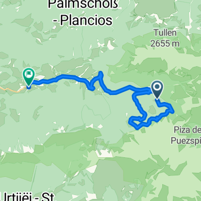
Start in St. Magdalena ... quite demanding and tricky until you reach the main road ... brilliant trail, simply beautiful ... easy climb to the Würzjoch ... tough trail with some sections where you need to push or carry your bike to the Göma Joch ... brilliant trail afterwards ... then a tough climb to the Schlüterhütte at 2,343 meters ... spectacular trail to Gampenalm ... relaxed descent back to St. Magdalena ... definitely demanding both physically and technically but worth it
created this 14 years ago
Continue with Bikemap
You would like to ride Rund um den Peitlerkofel von St. Magdalena aus or customize it for your own trip? Here is what you can do with this Bikemap route:
Free trial for 3 days, or one-time payment. More about Bikemap Premium.
Discover more Premium features.
Get Bikemap PremiumFrom our community
Open it in the app