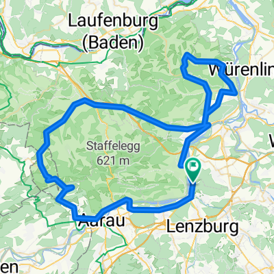
Staffelegg - Benkerjoch - Saalhöhe - Bözberg - Geissberg - Staffelegg
- 129.5 km
- 1,779 m
- 1,779 m
- Veltheim, Canton of Aargau, Switzerland
A cycling route starting in Veltheim, Canton of Aargau, Switzerland.
Overview
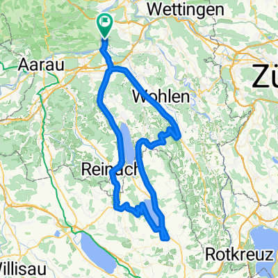
Herlisberg is also the replacement at the end
created this 14 years ago
Route quality
Road
17.9 km
20 %
Quiet road
9.8 km
11 %
Paved
32.2 km
(36 %)
Unpaved
2.7 km
(3 %)
Asphalt
32.2 km
36 %
Gravel
2.7 km
3 %
Undefined
54.5 km
61 %
Continue with Bikemap
You would like to ride Hochdorf - Herlisberg - Böhler or customize it for your own trip? Here is what you can do with this Bikemap route:
Free trial for 3 days, or one-time payment. More about Bikemap Premium.
Discover more Premium features.
Get Bikemap PremiumFrom our community
Open it in the app