

Übers Hündle
A cycling route starting in Oberstaufen, Bavaria, Germany.
Overview
About this route
Nice route, also ideal for children who have mastered safe braking. However, the ascent from Buchenegg to the Hündle mountain restaurant still needs significant improvements. Almost entirely a push section!
- -:--
- Duration
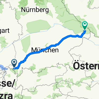
- 10.8 km
- Distance
- 408 m
- Ascent
- 411 m
- Descent
- ---
- Avg. speed
- ---
- Max. altitude
Continue with Bikemap
Use, edit, or download this cycling route
You would like to ride Übers Hündle or customize it for your own trip? Here is what you can do with this Bikemap route:
Free features
- Save this route as favorite or in collections
- Copy & plan your own version of this route
- Sync your route with Garmin or Wahoo
Premium features
Free trial for 3 days, or one-time payment. More about Bikemap Premium.
- Navigate this route on iOS & Android
- Export a GPX / KML file of this route
- Create your custom printout (try it for free)
- Download this route for offline navigation
Discover more Premium features.
Get Bikemap PremiumFrom our community
Other popular routes starting in Oberstaufen
 10. Oberstaufen-Kriessern-80km-500Hm
- Distance
- 80.8 km
- Ascent
- 527 m
- Descent
- 911 m
- Location
- Oberstaufen, Bavaria, Germany
 Hündle_Alpsee
- Distance
- 19.3 km
- Ascent
- 667 m
- Descent
- 689 m
- Location
- Oberstaufen, Bavaria, Germany
 Bodenmais
- Distance
- 364.7 km
- Ascent
- 736 m
- Descent
- 875 m
- Location
- Oberstaufen, Bavaria, Germany
 Oberstaufen -Gardasee 2013
- Distance
- 397.7 km
- Ascent
- 4,038 m
- Descent
- 4,762 m
- Location
- Oberstaufen, Bavaria, Germany
 Oberstaufen
- Distance
- 43.1 km
- Ascent
- 837 m
- Descent
- 837 m
- Location
- Oberstaufen, Bavaria, Germany
 Übers Hündle
- Distance
- 10.8 km
- Ascent
- 408 m
- Descent
- 411 m
- Location
- Oberstaufen, Bavaria, Germany
 Um den Hündle
- Distance
- 13.7 km
- Ascent
- 584 m
- Descent
- 584 m
- Location
- Oberstaufen, Bavaria, Germany
 Oberstaufen-Rohrmoss-Oberstaufen
- Distance
- 82.4 km
- Ascent
- 834 m
- Descent
- 834 m
- Location
- Oberstaufen, Bavaria, Germany
Open it in the app