De Rue Mendiartze 31, Urrugne à Quai Goslar 14, Arcachon
- 195.8 km
- 1,569 m
- 1,590 m
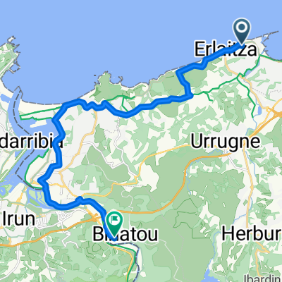
- Ciboure, Nouvelle-Aquitaine, France
A cycling route starting in Ciboure, Nouvelle-Aquitaine, France.
Overview
First Pyrenean stage after transfer from Mont Ventoux (690 km (!) to Saint-Jean-de-Luz).
Puerto de Otxond (602), Col de Ispeguy (672)
created this 14 years ago
Route quality
Road
33.3 km
(37 %)
Cycleway
16.2 km
(18 %)
Paved
13.5 km
(15 %)
Asphalt
13.5 km
(15 %)
Undefined
76.4 km
(85 %)
Continue with Bikemap
You would like to ride Pyrenäen 11.08.2011 - Donnerstag or customize it for your own trip? Here is what you can do with this Bikemap route:
Free trial for 3 days, or one-time payment. More about Bikemap Premium.
Discover more Premium features.
Get Bikemap PremiumFrom our community
Open it in the app