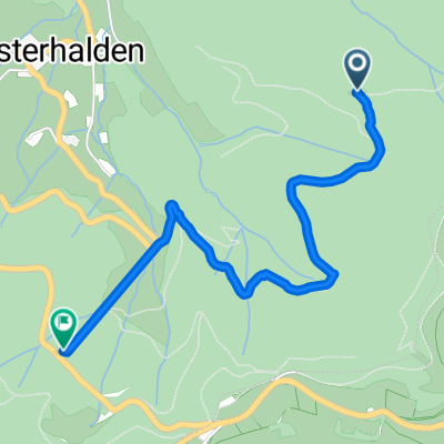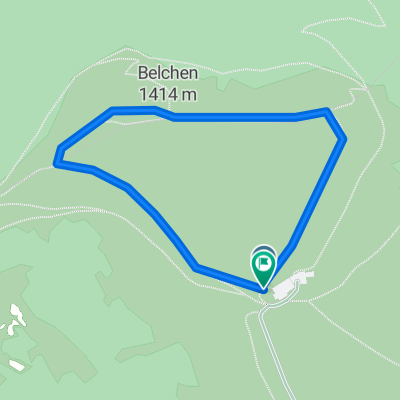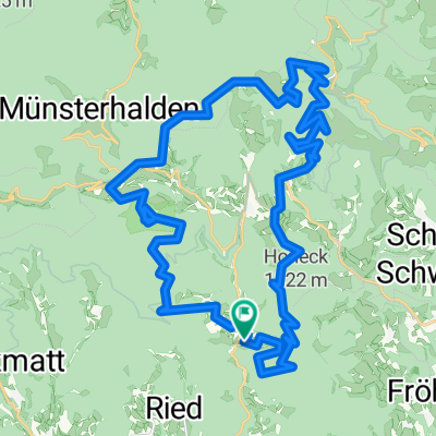
Bürchau-Belchen-Nonnenmattweiher
- 35.5 km
- 1,185 m
- 1,185 m
- Böllen, Baden-Wurttemberg, Germany
A cycling route starting in Böllen, Baden-Wurttemberg, Germany.
Overview
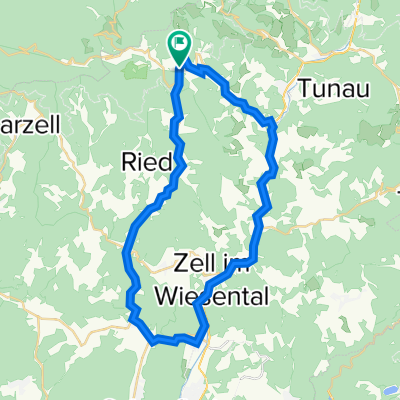
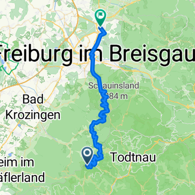
From Neuenweg down the small Wiesental, over Gresgen to the large Wiesental, on the old railway line (Todtnauerli) up to Wembach, and back via Böllen.
created this 4 years ago
Route quality
Quiet road
7.8 km
22 %
Track
3.5 km
10 %
Paved
18.7 km
(53 %)
Unpaved
3.5 km
(10 %)
Asphalt
18.7 km
53 %
Gravel
2.1 km
6 %
Continue with Bikemap
You would like to ride Kleine Wiesentäler-Runde or customize it for your own trip? Here is what you can do with this Bikemap route:
Free trial for 3 days, or one-time payment. More about Bikemap Premium.
Discover more Premium features.
Get Bikemap PremiumFrom our community
Open it in the app