Sulzbach Pfaffenberg
- 39.8 km
- 761 m
- 761 m
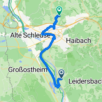
- Sulzbach am Main, Bavaria, Germany
A cycling route starting in Sulzbach am Main, Bavaria, Germany.
Overview
Sulzbach-Mespelbrunn-Weibersbrunn-Hafenlohr-Lohr-Partenstein-Heigenbrücken-Engländer-Sailauf-Aschaffenburg, ~1T HM
created this 14 years ago
Route quality
Road
41.7 km
(34 %)
Quiet road
13.5 km
(11 %)
Paved
96.9 km
(79 %)
Unpaved
6.1 km
(5 %)
Asphalt
95.7 km
(78 %)
Gravel
3.7 km
(3 %)
Continue with Bikemap
You would like to ride Spessart-Hafenlohrtal-Engländer or customize it for your own trip? Here is what you can do with this Bikemap route:
Free trial for 3 days, or one-time payment. More about Bikemap Premium.
Discover more Premium features.
Get Bikemap PremiumFrom our community
Open it in the app