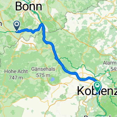
50.627, 7.015 nach 50.739, 7.084
- 16 km
- 61 m
- 171 m
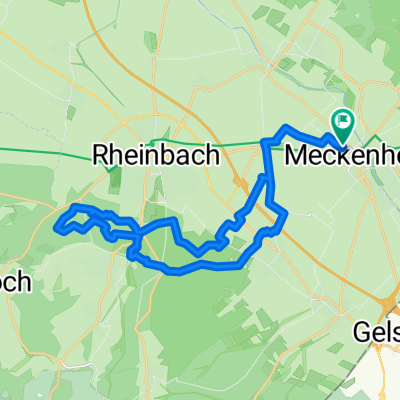
- Meckenheim, North Rhine-Westphalia, Germany
A cycling route starting in Meckenheim, North Rhine-Westphalia, Germany.
Overview
At the start-finish there is a parking lot for those arriving by car.
The crossing of the federal road is relatively safe, as both locations are very clear.
The highway is crossed by passable underpasses.<br />
created this 14 years ago
Route quality
Track
17 km
(92 %)
Quiet road
1.1 km
(6 %)
Access road
0.4 km
(2 %)
Paved
18.5 km
(100 %)
Asphalt
18.3 km
(99 %)
Paved (undefined)
0.2 km
(1 %)
Continue with Bikemap
You would like to ride Kottenforst-Runde or customize it for your own trip? Here is what you can do with this Bikemap route:
Free trial for 3 days, or one-time payment. More about Bikemap Premium.
Discover more Premium features.
Get Bikemap PremiumFrom our community
Open it in the app