

National Highway 7 to Panchkula
A cycling route starting in Chandigarh, Chandigarh, India.
Overview
About this route
- 13 min
- Duration
- 3.8 km
- Distance
- 24 m
- Ascent
- 28 m
- Descent
- 17.7 km/h
- Avg. speed
- 380 m
- Max. altitude

Continue with Bikemap
Use, edit, or download this cycling route
You would like to ride National Highway 7 to Panchkula or customize it for your own trip? Here is what you can do with this Bikemap route:
Free features
- Save this route as favorite or in collections
- Copy & plan your own version of this route
- Sync your route with Garmin or Wahoo
Premium features
Free trial for 3 days, or one-time payment. More about Bikemap Premium.
- Navigate this route on iOS & Android
- Export a GPX / KML file of this route
- Create your custom printout (try it for free)
- Download this route for offline navigation
Discover more Premium features.
Get Bikemap PremiumFrom our community
Other popular routes starting in Chandigarh
 Panchkula to Baddi
- Distance
- 54.1 km
- Ascent
- 1,083 m
- Descent
- 1,014 m
- Location
- Chandigarh, Chandigarh, India
 Relaxed route in
- Distance
- 18.2 km
- Ascent
- 593 m
- Descent
- 569 m
- Location
- Chandigarh, Chandigarh, India
 16chdt
- Distance
- 8.9 km
- Ascent
- 305 m
- Descent
- 314 m
- Location
- Chandigarh, Chandigarh, India
 longest ride ever.... CM2C.
- Distance
- 63.4 km
- Ascent
- 2,675 m
- Descent
- 2,226 m
- Location
- Chandigarh, Chandigarh, India
 C-13, Chandigarh to omaxe
- Distance
- 18.8 km
- Ascent
- 335 m
- Descent
- 365 m
- Location
- Chandigarh, Chandigarh, India
 Chandigarh to Block C, Chandigarh
- Distance
- 12.8 km
- Ascent
- 78 m
- Descent
- 94 m
- Location
- Chandigarh, Chandigarh, India
 Sukhna lake 8 Nov
- Distance
- 28.4 km
- Ascent
- 155 m
- Descent
- 169 m
- Location
- Chandigarh, Chandigarh, India
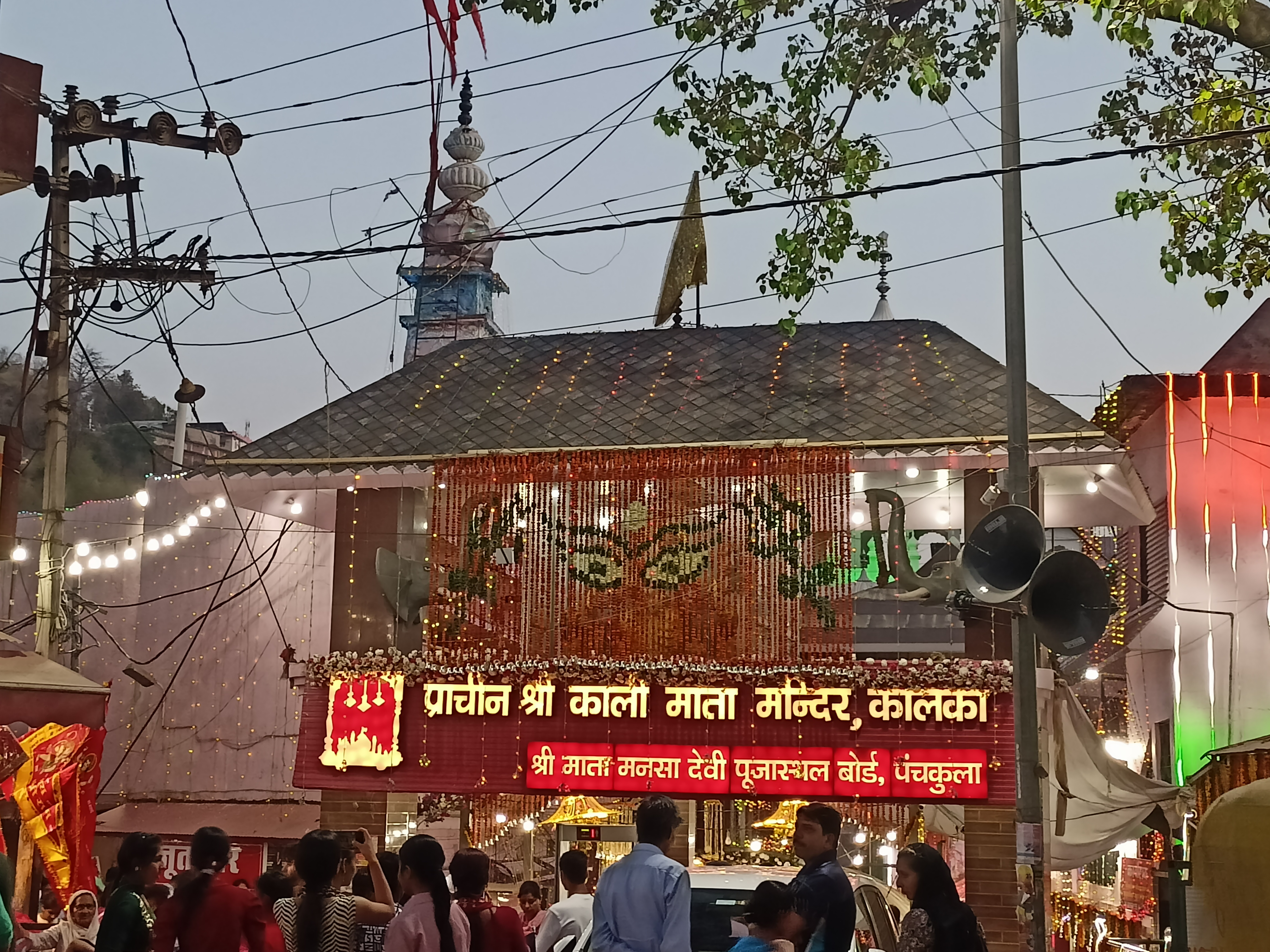 Panchkula to Kalka Temple
- Distance
- 19.2 km
- Ascent
- 678 m
- Descent
- 300 m
- Location
- Chandigarh, Chandigarh, India
Open it in the app