

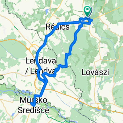
Redics-Enese
A cycling route starting in Lenti, Zala County, Hungary.
Overview
About this route
Trip Venice-Cieszyn. Stage 6 Redics-Enese
- -:--
- Duration
- 165.3 km
- Distance
- 234 m
- Ascent
- 289 m
- Descent
- ---
- Avg. speed
- ---
- Max. altitude

Continue with Bikemap
Use, edit, or download this cycling route
You would like to ride Redics-Enese or customize it for your own trip? Here is what you can do with this Bikemap route:
Free features
- Save this route as favorite or in collections
- Copy & plan your own version of this route
- Split it into stages to create a multi-day tour
- Sync your route with Garmin or Wahoo
Premium features
Free trial for 3 days, or one-time payment. More about Bikemap Premium.
- Navigate this route on iOS & Android
- Export a GPX / KML file of this route
- Create your custom printout (try it for free)
- Download this route for offline navigation
Discover more Premium features.
Get Bikemap PremiumFrom our community
Other popular routes starting in Lenti
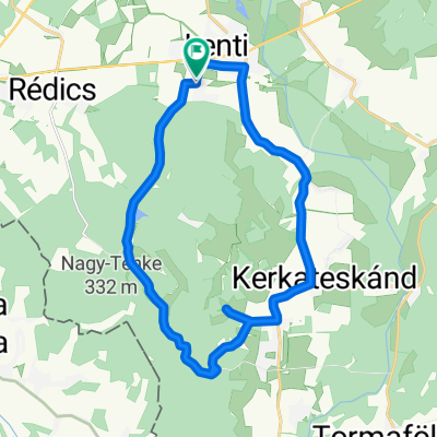
 Hunyadi utca - Hunyadi utca
- Distance
- 43.6 km
- Ascent
- 367 m
- Descent
- 413 m
- Location
- Lenti, Zala County, Hungary
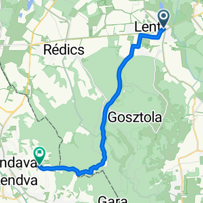
 Csömödér kisvasút - Nova közút
- Distance
- 12.8 km
- Ascent
- 61 m
- Descent
- 50 m
- Location
- Lenti, Zala County, Hungary
 Ungarn nach Dolgovaške Gorice
- Distance
- 12.1 km
- Ascent
- 245 m
- Descent
- 116 m
- Location
- Lenti, Zala County, Hungary
 Táncsics utca nach Táncsics utca
- Distance
- 26.1 km
- Ascent
- 322 m
- Descent
- 320 m
- Location
- Lenti, Zala County, Hungary
 glockner1
- Distance
- 673.1 km
- Ascent
- 7,000 m
- Descent
- 5,254 m
- Location
- Lenti, Zala County, Hungary
 Nemesnép - Őriszentpéter
- Distance
- 39.8 km
- Ascent
- 285 m
- Descent
- 217 m
- Location
- Lenti, Zala County, Hungary
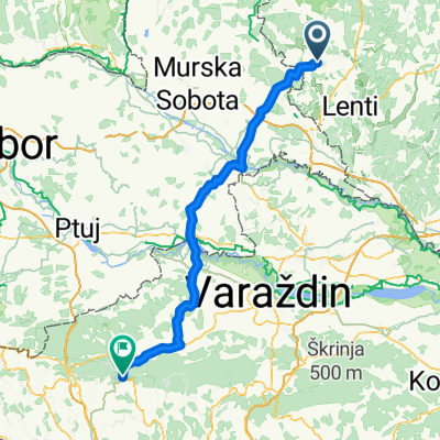 Kossuth Lajos utca - Novi Golubovec 15C
- Distance
- 89.6 km
- Ascent
- 733 m
- Descent
- 603 m
- Location
- Lenti, Zala County, Hungary
 Fő utca, Nova to Aurisina, Duino Aurisina
- Distance
- 367.2 km
- Ascent
- 5,228 m
- Descent
- 5,272 m
- Location
- Lenti, Zala County, Hungary
Open it in the app