

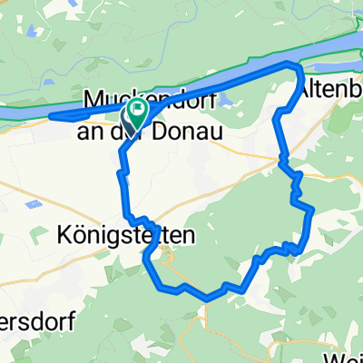
tulln greifenstein donaurunde
A cycling route starting in Königstetten, Lower Austria, Austria.
Overview
About this route
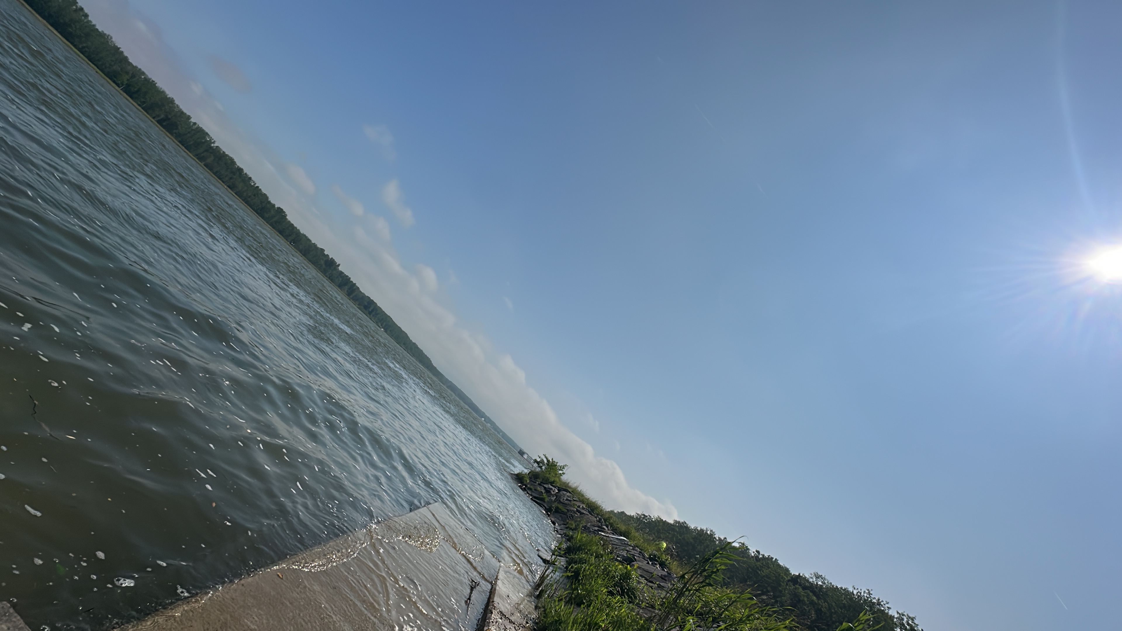
Simple route along the Danube, sometimes a bit windy but always with cooler sections thanks to the proximity to the water and the many trees.On the northern bank, there is no gastronomy,On the southern bank, there are plenty of opportunities to take a quick break. There are also public water sources for those very thirsty.The northern bank also allows for some really fast riding.
- -:--
- Duration
- 33 km
- Distance
- 42 m
- Ascent
- 40 m
- Descent
- ---
- Avg. speed
- ---
- Max. altitude

Route quality
Waytypes & surfaces along the route
Waytypes
Track
26.7 km
(81 %)
Quiet road
2.6 km
(8 %)
Surfaces
Paved
28.4 km
(86 %)
Unpaved
2.6 km
(8 %)
Asphalt
28.4 km
(86 %)
Ground
2.6 km
(8 %)
Undefined
2 km
(6 %)
Continue with Bikemap
Use, edit, or download this cycling route
You would like to ride tulln greifenstein donaurunde or customize it for your own trip? Here is what you can do with this Bikemap route:
Free features
- Save this route as favorite or in collections
- Copy & plan your own version of this route
- Sync your route with Garmin or Wahoo
Premium features
Free trial for 3 days, or one-time payment. More about Bikemap Premium.
- Navigate this route on iOS & Android
- Export a GPX / KML file of this route
- Create your custom printout (try it for free)
- Download this route for offline navigation
Discover more Premium features.
Get Bikemap PremiumFrom our community
Other popular routes starting in Königstetten
 Muckendorf -Königstetten -Dopplerhütte Hintersdorf-Muckendorf
- Distance
- 36.4 km
- Ascent
- 425 m
- Descent
- 426 m
- Location
- Königstetten, Lower Austria, Austria
 Die Wahnsinnigen am Rad
- Distance
- 33.5 km
- Ascent
- 463 m
- Descent
- 474 m
- Location
- Königstetten, Lower Austria, Austria
 Mitterweg, Königstetten nach Joseph-Haydn-Gasse, Königstetten
- Distance
- 30 km
- Ascent
- 55 m
- Descent
- 45 m
- Location
- Königstetten, Lower Austria, Austria
 Teststrecke Königsstetten Dopplerhütte
- Distance
- 2.9 km
- Ascent
- 231 m
- Descent
- 74 m
- Location
- Königstetten, Lower Austria, Austria
 Hängender Stein-Strecke
- Distance
- 17.4 km
- Ascent
- 341 m
- Descent
- 344 m
- Location
- Königstetten, Lower Austria, Austria
 Tour de Wienerwald
- Distance
- 21 km
- Ascent
- 313 m
- Descent
- 241 m
- Location
- Königstetten, Lower Austria, Austria
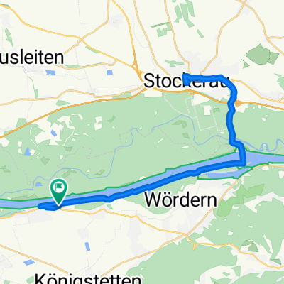 Lale - Stockerau
- Distance
- 35.6 km
- Ascent
- 73 m
- Descent
- 71 m
- Location
- Königstetten, Lower Austria, Austria
 tulln greifenstein donaurunde
- Distance
- 33 km
- Ascent
- 42 m
- Descent
- 40 m
- Location
- Königstetten, Lower Austria, Austria
Open it in the app