Pojecta 1
- 15 km
- 681 m
- 680 m
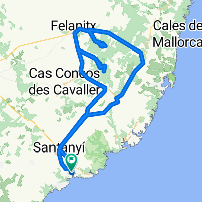
- Santanyí, Balearic Islands, Spain
A cycling route starting in Santanyí, Balearic Islands, Spain.
Overview
February, almond tree blossom, blooming meadows
created this 3 years ago


Route quality
Quiet road
34.6 km
(77 %)
Road
4.9 km
(11 %)
Paved
38.6 km
(86 %)
Unpaved
0.9 km
(2 %)
Asphalt
38.6 km
(86 %)
Gravel
0.9 km
(2 %)
Undefined
5.4 km
(12 %)
Continue with Bikemap
You would like to ride Cala Santanyi SES SALINES SAN JORDI or customize it for your own trip? Here is what you can do with this Bikemap route:
Free trial for 3 days, or one-time payment. More about Bikemap Premium.
Discover more Premium features.
Get Bikemap PremiumFrom our community
Open it in the app