castiglioncello-suvereto CLONED FROM ROUTE 413893
- 125.4 km
- 465 m
- 465 m
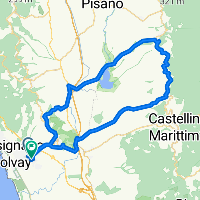
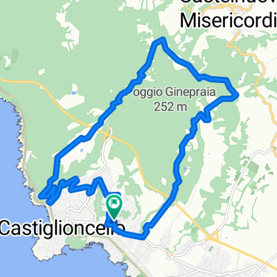
- Rosignano Solvay-Castiglioncello, Tuscany, Italy
A cycling route starting in Rosignano Solvay-Castiglioncello, Tuscany, Italy.
Overview
counterclockwise MTB route
From Rosignano you reach the "Spianate" and Poggio Pelato. Continue to Nibbiaia and, through the Ancient Via di Montenero (Viperaia), descend onto Via della Valle del Chioma. Climb up to the "Palazzine", where you take the left onto the dirt road "tagliafuoco." Follow it for about 4 km, then turn right to start the "percorso del pellegrino" loop: descend via del Puntone down to Via di Sant'Alò, climb back up to Monterrotondo, and join the second part of the pilgrim's path that leads to Pian della Rena. Reach Castellaccio and descend along the ridge road (the "voltine") down to Boccale. Ride along the Livorno seafront to the Academy and, at Via Goito 40, find the restaurant "Il Fischietto" (tel. 3293107324). Return to the seafront, reach Antignano, pass Romito, and after the climb, turn left onto Via di Quercianella. Just before the Nuvolari curve, find a dirt track on the right leading to the area's most panoramic trail. Descend via degli Allori and arrive at Quercianella, then Castiglioncello and Rosignano Solvay.
created this 3 years ago
Route quality
Track
22.4 km
(32 %)
Quiet road
9.8 km
(14 %)
Paved
31.6 km
(45 %)
Unpaved
24.5 km
(35 %)
Asphalt
30.9 km
(44 %)
Gravel
11.9 km
(17 %)
Continue with Bikemap
You would like to ride Ros. Solvay-percorso del pellegrino-Livorno-Solvay or customize it for your own trip? Here is what you can do with this Bikemap route:
Free trial for 3 days, or one-time payment. More about Bikemap Premium.
Discover more Premium features.
Get Bikemap PremiumFrom our community
Open it in the app