CYCLING THE RHINE: Route 11A
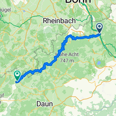
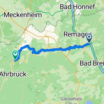
A cycling route starting in Linz am Rhein, Rhineland-Palatinate, Germany.
Overview
About this route
From Linz am Rhein railway station to Koblenz railway station.
Please Note that the profile shown is inaccurate, as the high points indicated around the 10km and 17km marks relate to nearby objects, and not the path described.- -:--
- Duration
- 45.7 km
- Distance
- 156 m
- Ascent
- 143 m
- Descent
- ---
- Avg. speed
- ---
- Avg. speed
Route highlights
Points of interest along the route
Point of interest after 44.8 km
From this point, the described route deviates from the Rhine river, to terminate at the Koblenz main railway station.
Continue with Bikemap
Use, edit, or download this cycling route
You would like to ride CYCLING THE RHINE: Route 11A or customize it for your own trip? Here is what you can do with this Bikemap route:
Free features
- Save this route as favorite or in collections
- Copy & plan your own version of this route
- Sync your route with Garmin or Wahoo
Premium features
Free trial for 3 days, or one-time payment. More about Bikemap Premium.
- Navigate this route on iOS & Android
- Export a GPX / KML file of this route
- Create your custom printout (try it for free)
- Download this route for offline navigation
Discover more Premium features.
Get Bikemap PremiumFrom our community
Other popular routes starting in Linz am Rhein
- Rheinstraße 6, Linz am Rhein nach Bergstraße 115, Königswinter
- Distance
- 17.7 km
- Ascent
- 167 m
- Descent
- 95 m
- Location
- Linz am Rhein, Rhineland-Palatinate, Germany
- End of Summer 2010 (31.10)
- Distance
- 79.5 km
- Ascent
- 783 m
- Descent
- 743 m
- Location
- Linz am Rhein, Rhineland-Palatinate, Germany
- RR19 - Remagen > Koln
- Distance
- 61.4 km
- Ascent
- 210 m
- Descent
- 228 m
- Location
- Linz am Rhein, Rhineland-Palatinate, Germany
- Kripp - Nürburgring - Brohl-Lützing
- Distance
- 99.5 km
- Ascent
- 776 m
- Descent
- 776 m
- Location
- Linz am Rhein, Rhineland-Palatinate, Germany
- Nürburgringrunde
- Distance
- 98.4 km
- Ascent
- 950 m
- Descent
- 938 m
- Location
- Linz am Rhein, Rhineland-Palatinate, Germany
- CYCLING THE RHINE: Route 11A
- Distance
- 45.7 km
- Ascent
- 156 m
- Descent
- 143 m
- Location
- Linz am Rhein, Rhineland-Palatinate, Germany
- Umleitung Ahr-Radweg Sinzig - Walporzheim
- Distance
- 25.8 km
- Ascent
- 82 m
- Descent
- 21 m
- Location
- Linz am Rhein, Rhineland-Palatinate, Germany
- Familienradler 2025 4. Tag
- Distance
- 56.2 km
- Ascent
- 244 m
- Descent
- 254 m
- Location
- Linz am Rhein, Rhineland-Palatinate, Germany
Open it in the app