moravce dintorni
- 38.2 km
- 1,338 m
- 1,503 m
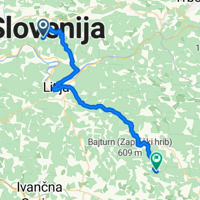
- Moravče, Občina Moravče, Slovenia
A cycling route starting in Moravče, Občina Moravče, Slovenia.
Overview
created this 14 years ago
Route quality
Quiet road
25.4 km
(77 %)
Track
4.3 km
(13 %)
Undefined
3.3 km
(10 %)
Paved
21.8 km
(66 %)
Unpaved
4.3 km
(13 %)
Asphalt
21.8 km
(66 %)
Gravel
4 km
(12 %)
Continue with Bikemap
You would like to ride Moja trening pot or customize it for your own trip? Here is what you can do with this Bikemap route:
Free trial for 3 days, or one-time payment. More about Bikemap Premium.
Discover more Premium features.
Get Bikemap PremiumFrom our community
Open it in the app