

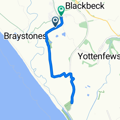
Charity ride
A cycling route starting in Egremont, England, United Kingdom.
Overview
About this route
- -:--
- Duration
- 1,507 km
- Distance
- 7,883 m
- Ascent
- 7,861 m
- Descent
- ---
- Avg. speed
- 539 m
- Max. altitude
Route quality
Waytypes & surfaces along the route
Waytypes
Road
497.3 km
(33 %)
Quiet road
422 km
(28 %)
Surfaces
Paved
587.7 km
(39 %)
Unpaved
60.3 km
(4 %)
Asphalt
557.6 km
(37 %)
Paved (undefined)
30.1 km
(2 %)
Continue with Bikemap
Use, edit, or download this cycling route
You would like to ride Charity ride or customize it for your own trip? Here is what you can do with this Bikemap route:
Free features
- Save this route as favorite or in collections
- Copy & plan your own version of this route
- Split it into stages to create a multi-day tour
- Sync your route with Garmin or Wahoo
Premium features
Free trial for 3 days, or one-time payment. More about Bikemap Premium.
- Navigate this route on iOS & Android
- Export a GPX / KML file of this route
- Create your custom printout (try it for free)
- Download this route for offline navigation
Discover more Premium features.
Get Bikemap PremiumFrom our community
Other popular routes starting in Egremont
 Barnsley and back in 36hrs
- Distance
- 245 km
- Ascent
- 3,007 m
- Descent
- 3,027 m
- Location
- Egremont, England, United Kingdom
 First Ride
- Distance
- 6.9 km
- Ascent
- 68 m
- Descent
- 115 m
- Location
- Egremont, England, United Kingdom
 Charity ride
- Distance
- 1,507 km
- Ascent
- 7,883 m
- Descent
- 7,861 m
- Location
- Egremont, England, United Kingdom
 Hills 2016
- Distance
- 161.8 km
- Ascent
- 1,743 m
- Descent
- 1,754 m
- Location
- Egremont, England, United Kingdom
 Egremont to Rowrah
- Distance
- 24.2 km
- Ascent
- 169 m
- Descent
- 168 m
- Location
- Egremont, England, United Kingdom
 Glenholme, Beckermet to Holyoake Terrace, Beckermet
- Distance
- 8.4 km
- Ascent
- 35 m
- Descent
- 33 m
- Location
- Egremont, England, United Kingdom
Open it in the app