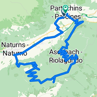
Partschins - Muthöfe
- 38.9 km
- 1,355 m
- 1,347 m
- Partschins, Trentino-Alto Adige, Italy
A cycling route starting in Partschins, Trentino-Alto Adige, Italy.
Overview
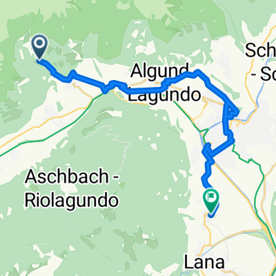
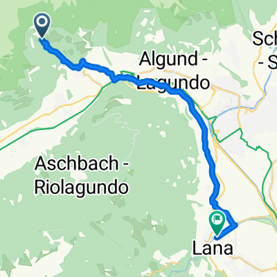
Wegbeschreibung:
Von Hotel aus starten Sie zum Algunder Radweg. Folgen Sie diesem weiter nach Algund - Meran. Beim Untermaiser Bahnhof fahren Sie die lange Gerade entlang des Pferderennplatzes, am Ende der Geraden geht’s rechts Richtung Sinich. Beim Eurospar(McDonalds) beginnt der Radweg nach Bozen. Sie können nun den Radweg entlang der Etsch bis nach Bozen fahren. Nicht weit vom Radweg finden Sie die ganze Strecke entlang immer wieder einen Bahnhof, somit ist Ihre Rückfahrt einfach zu planen. Bei Siebeneich kurz vor Bozen können Sie auf den Radweg nach Kaltern fahren. Die Beschreibung finden Sie in einer eigenen Tour.
created this 3 years ago
Route quality
Cycleway
31.7 km
(81 %)
Road
2.7 km
(7 %)
Paved
37.6 km
(96 %)
Unpaved
0.4 km
(1 %)
Asphalt
37.2 km
(95 %)
Paved (undefined)
0.4 km
(1 %)
Continue with Bikemap
You would like to ride Von Algund nach Bozen or customize it for your own trip? Here is what you can do with this Bikemap route:
Free trial for 3 days, or one-time payment. More about Bikemap Premium.
Discover more Premium features.
Get Bikemap PremiumFrom our community
Open it in the app