
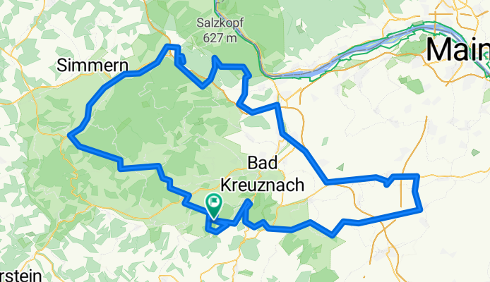
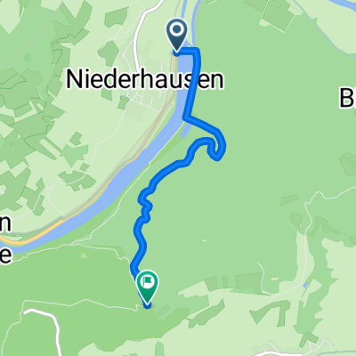
Hüttentour
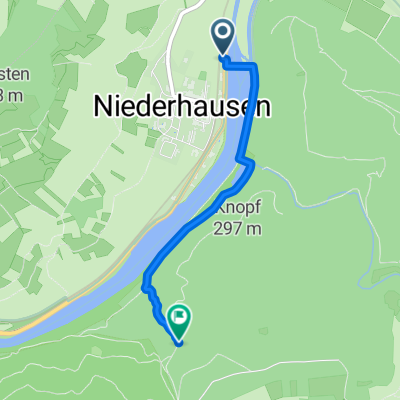
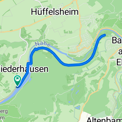
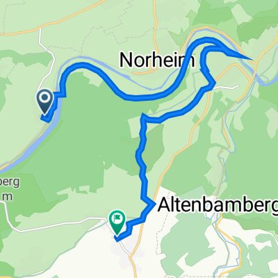
A cycling route starting in Niederhausen, Rhineland-Palatinate, Germany.
Overview
About this route
- -:--
- Duration
- 177.2 km
- Distance
- 1,524 m
- Ascent
- 1,523 m
- Descent
- ---
- Avg. speed
- ---
- Max. altitude
Route quality
Waytypes & surfaces along the route
Waytypes
Busy road
81.2 km
(46 %)
Quiet road
32.4 km
(18 %)
Surfaces
Paved
138.4 km
(78 %)
Unpaved
12.6 km
(7 %)
Asphalt
128 km
(72 %)
Paved (undefined)
8.4 km
(5 %)
Route highlights
Points of interest along the route

Accommodation after 23.7 km
Bockenauer Schweiz

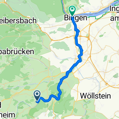
Accommodation after 34.8 km
Trifthütte

Accommodation after 69.2 km
Emmerichhütte

Accommodation after 82.1 km
Lauschhütte

Accommodation after 87.7 km
Forsthaus Jägerhaus

Accommodation after 132.9 km
Wenn man einen Einwohner von Gabsheim fragt, wo in Rheinhessen sein Wohnort liegt, so wird er vielleicht etwa so antworten: "Mein Wohnort ist Gabsheim, das liegt in der Mitte von Rheinhessen und Gabsheim ist fast gleich weit von den Städten Mainz, Worms, Bingen oder Kreuznach entfernt".

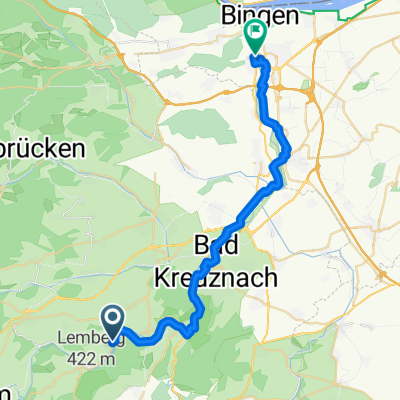
Accommodation after 175.5 km
Lembergblick
Continue with Bikemap
Use, edit, or download this cycling route
You would like to ride Hüttentour or customize it for your own trip? Here is what you can do with this Bikemap route:
Free features
- Save this route as favorite or in collections
- Copy & plan your own version of this route
- Split it into stages to create a multi-day tour
- Sync your route with Garmin or Wahoo
Premium features
Free trial for 3 days, or one-time payment. More about Bikemap Premium.
- Navigate this route on iOS & Android
- Export a GPX / KML file of this route
- Create your custom printout (try it for free)
- Download this route for offline navigation
Discover more Premium features.
Get Bikemap PremiumFrom our community
Other popular routes starting in Niederhausen
 Schmittenstollen 2
- Distance
- 2.3 km
- Ascent
- 137 m
- Descent
- 32 m
- Location
- Niederhausen, Rhineland-Palatinate, Germany
 Teststrecke
- Distance
- 10.9 km
- Ascent
- 26 m
- Descent
- 27 m
- Location
- Niederhausen, Rhineland-Palatinate, Germany
 Trombachblick 5, Niederhausen nach Kirchstraße 22, Feilbingert
- Distance
- 12 km
- Ascent
- 273 m
- Descent
- 107 m
- Location
- Niederhausen, Rhineland-Palatinate, Germany
 Fußweg zum Schmittenstollen
- Distance
- 3.2 km
- Ascent
- 330 m
- Descent
- 132 m
- Location
- Niederhausen, Rhineland-Palatinate, Germany
 Naheradweg 4. Tag
- Distance
- 31.7 km
- Ascent
- 138 m
- Descent
- 194 m
- Location
- Niederhausen, Rhineland-Palatinate, Germany
 Rundradweg von Niederhausen über Rümmelsheim und Windesheim
- Distance
- 55.1 km
- Ascent
- 500 m
- Descent
- 500 m
- Location
- Niederhausen, Rhineland-Palatinate, Germany
 Rotenfels Runde
- Distance
- 50.6 km
- Ascent
- 691 m
- Descent
- 691 m
- Location
- Niederhausen, Rhineland-Palatinate, Germany
 Niederhausen-Rümmelsheim 1
- Distance
- 28.5 km
- Ascent
- 0 m
- Descent
- 20 m
- Location
- Niederhausen, Rhineland-Palatinate, Germany
Open it in the app