

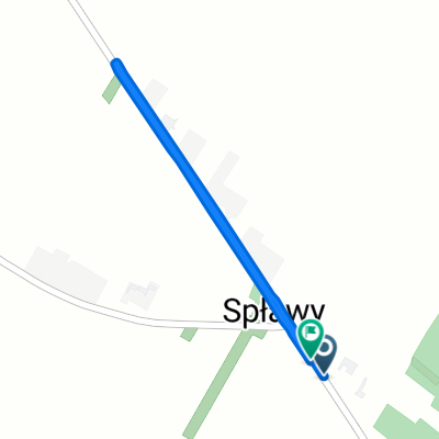
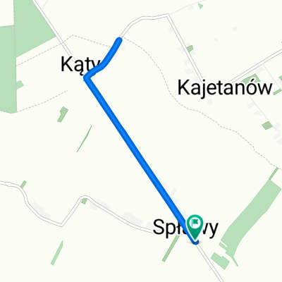
Szlak gminy Zakrzew (Spławy-Zakrzew)
A cycling route starting in Wysokie, Lublin Voivodeship, Poland.
Overview
About this route
- -:--
- Duration
- 6.5 km
- Distance
- 4 m
- Ascent
- 59 m
- Descent
- ---
- Avg. speed
- 273 m
- Max. altitude
Route quality
Waytypes & surfaces along the route
Waytypes
Road
3.7 km
(57 %)
Quiet road
2 km
(30 %)
Surfaces
Paved
1.6 km
(24 %)
Unpaved
0.8 km
(13 %)
Asphalt
1.6 km
(24 %)
Ground
0.8 km
(13 %)
Undefined
4.1 km
(63 %)
Continue with Bikemap
Use, edit, or download this cycling route
You would like to ride Szlak gminy Zakrzew (Spławy-Zakrzew) or customize it for your own trip? Here is what you can do with this Bikemap route:
Free features
- Save this route as favorite or in collections
- Copy & plan your own version of this route
- Sync your route with Garmin or Wahoo
Premium features
Free trial for 3 days, or one-time payment. More about Bikemap Premium.
- Navigate this route on iOS & Android
- Export a GPX / KML file of this route
- Create your custom printout (try it for free)
- Download this route for offline navigation
Discover more Premium features.
Get Bikemap PremiumFrom our community
Other popular routes starting in Wysokie
 Wysokie - Turobin - Nielisz - Żółkiewka
- Distance
- 74.7 km
- Ascent
- 202 m
- Descent
- 202 m
- Location
- Wysokie, Lublin Voivodeship, Poland
 Wysokie pro
- Distance
- 51 km
- Ascent
- 404 m
- Descent
- 394 m
- Location
- Wysokie, Lublin Voivodeship, Poland
 Spławy, Wysokie do Annów, Zakrzew
- Distance
- 14.1 km
- Ascent
- 75 m
- Descent
- 88 m
- Location
- Wysokie, Lublin Voivodeship, Poland
 koncepcja szlaku rowerowego Giełczew - Wysokie
- Distance
- 5.4 km
- Ascent
- 40 m
- Descent
- 60 m
- Location
- Wysokie, Lublin Voivodeship, Poland
 23 Hobby
- Distance
- 11.7 km
- Ascent
- 63 m
- Descent
- 63 m
- Location
- Wysokie, Lublin Voivodeship, Poland
 Spławy, Wysokie do Spławy, Wysokie
- Distance
- 2.5 km
- Ascent
- 19 m
- Descent
- 26 m
- Location
- Wysokie, Lublin Voivodeship, Poland
 Roztocze Zachodnie, Porytowe Wzgórze
- Distance
- 100.3 km
- Ascent
- 324 m
- Descent
- 324 m
- Location
- Wysokie, Lublin Voivodeship, Poland
 Spławy, Wysokie do Spławy, Wysokie
- Distance
- 5.9 km
- Ascent
- 42 m
- Descent
- 50 m
- Location
- Wysokie, Lublin Voivodeship, Poland
Open it in the app