
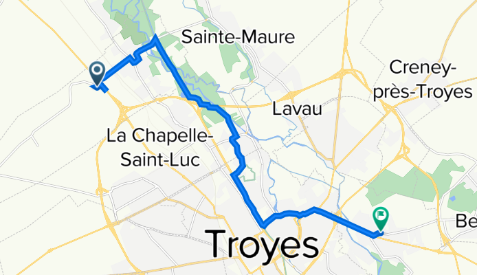
Itinéraire vers 3 Rue Edme Denizot, Saint-Parres-aux-Tertres
A cycling route starting in La Chapelle-Saint-Luc, Grand Est, France.
Overview
About this route
- 38 min
- Duration
- 12.1 km
- Distance
- 454 m
- Ascent
- 451 m
- Descent
- 19 km/h
- Avg. speed
- 117 m
- Max. altitude
Route quality
Waytypes & surfaces along the route
Waytypes
Path
3 km
(25 %)
Busy road
3 km
(25 %)
Surfaces
Paved
8.2 km
(68 %)
Unpaved
0 km
(<1 %)
Asphalt
8.2 km
(68 %)
Gravel
0 km
(<1 %)
Undefined
3.9 km
(32 %)
Continue with Bikemap
Use, edit, or download this cycling route
You would like to ride Itinéraire vers 3 Rue Edme Denizot, Saint-Parres-aux-Tertres or customize it for your own trip? Here is what you can do with this Bikemap route:
Free features
- Save this route as favorite or in collections
- Copy & plan your own version of this route
- Sync your route with Garmin or Wahoo
Premium features
Free trial for 3 days, or one-time payment. More about Bikemap Premium.
- Navigate this route on iOS & Android
- Export a GPX / KML file of this route
- Create your custom printout (try it for free)
- Download this route for offline navigation
Discover more Premium features.
Get Bikemap PremiumFrom our community
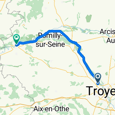
Other popular routes starting in La Chapelle-Saint-Luc
 De 5 Rue Paul Chameroy, La Chapelle-Saint-Luc à D1g, Lusigny-sur-Barse
- Distance
- 26.9 km
- Ascent
- 75 m
- Descent
- 51 m
- Location
- La Chapelle-Saint-Luc, Grand Est, France
 barberey - sezanne
- Distance
- 55.6 km
- Ascent
- 108 m
- Descent
- 65 m
- Location
- La Chapelle-Saint-Luc, Grand Est, France
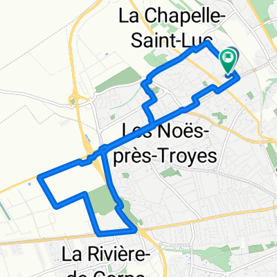
 De 4 Allée du Château, Barberey-Saint-Sulpice à Chemin du Stade Lacaille, La Rivière-de-Corps
- Distance
- 9.4 km
- Ascent
- 217 m
- Descent
- 204 m
- Location
- La Chapelle-Saint-Luc, Grand Est, France
 Itinéraire vers 3 Rue Edme Denizot, Saint-Parres-aux-Tertres
- Distance
- 12.1 km
- Ascent
- 454 m
- Descent
- 451 m
- Location
- La Chapelle-Saint-Luc, Grand Est, France
 Rue des Bleuets nach Rue du Camping
- Distance
- 58 km
- Ascent
- 31 m
- Descent
- 66 m
- Location
- La Chapelle-Saint-Luc, Grand Est, France
 De Rue du 40eme Régiment d'Artillerie à Rue du 40eme Régiment d'Artillerie
- Distance
- 11.3 km
- Ascent
- 16 m
- Descent
- 16 m
- Location
- La Chapelle-Saint-Luc, Grand Est, France
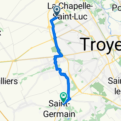 De Rue Joseph Marie Jacquard à Rue de Troyes
- Distance
- 8.5 km
- Ascent
- 19 m
- Descent
- 13 m
- Location
- La Chapelle-Saint-Luc, Grand Est, France
 Recovered Route
- Distance
- 3.8 km
- Ascent
- 13 m
- Descent
- 24 m
- Location
- La Chapelle-Saint-Luc, Grand Est, France
Open it in the app