Wyprawa 2012 CZECHY
A cycling route starting in Lubań, Lower Silesian Voivodeship, Poland.
Overview
About this route
First stage of the trip to Croatia 2012 CZECH REPUBLIC
- -:--
- Duration
- 429.7 km
- Distance
- 1,927 m
- Ascent
- 1,638 m
- Descent
- ---
- Avg. speed
- ---
- Max. altitude
Route quality
Waytypes & surfaces along the route
Waytypes
Road
81.6 km
(19 %)
Quiet road
43 km
(10 %)
Surfaces
Paved
270.7 km
(63 %)
Unpaved
4.3 km
(1 %)
Asphalt
270.7 km
(63 %)
Gravel
4.3 km
(1 %)
Undefined
154.7 km
(36 %)
Route highlights
Points of interest along the route
Point of interest after 38.7 km
zamek frydlant
Point of interest after 59.9 km
rezerwat góry izerskie
Point of interest after 85.4 km
Bozkovske jaskinie
Point of interest after 143.7 km
pałac sychrov
Point of interest after 298.2 km
Fajny zamek Sternberk
Continue with Bikemap
Use, edit, or download this cycling route
You would like to ride Wyprawa 2012 CZECHY or customize it for your own trip? Here is what you can do with this Bikemap route:
Free features
- Save this route as favorite or in collections
- Copy & plan your own version of this route
- Split it into stages to create a multi-day tour
- Sync your route with Garmin or Wahoo
Premium features
Free trial for 3 days, or one-time payment. More about Bikemap Premium.
- Navigate this route on iOS & Android
- Export a GPX / KML file of this route
- Create your custom printout (try it for free)
- Download this route for offline navigation
Discover more Premium features.
Get Bikemap PremiumFrom our community
Other popular routes starting in Lubań
- Dzień pierwszy
- Distance
- 85.5 km
- Ascent
- 1,048 m
- Descent
- 831 m
- Location
- Lubań, Lower Silesian Voivodeship, Poland
- super dłuuga trasa
- Distance
- 457.1 km
- Ascent
- 2,018 m
- Descent
- 2,128 m
- Location
- Lubań, Lower Silesian Voivodeship, Poland
- Wyprawa 2012 CZECHY
- Distance
- 429.7 km
- Ascent
- 1,927 m
- Descent
- 1,638 m
- Location
- Lubań, Lower Silesian Voivodeship, Poland
- Lubań Zawidów Gorlitz
- Distance
- 51.8 km
- Ascent
- 256 m
- Descent
- 249 m
- Location
- Lubań, Lower Silesian Voivodeship, Poland
- Wersja 1
- Distance
- 42.3 km
- Ascent
- 259 m
- Descent
- 286 m
- Location
- Lubań, Lower Silesian Voivodeship, Poland
- Bałtyk - Karkonosze Tour 2014 stage 5
- Distance
- 176.3 km
- Ascent
- 1,261 m
- Descent
- 1,009 m
- Location
- Lubań, Lower Silesian Voivodeship, Poland
- Na Lubański
- Distance
- 50 km
- Ascent
- 243 m
- Descent
- 235 m
- Location
- Lubań, Lower Silesian Voivodeship, Poland
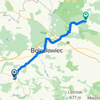
- tdp v2 2 Lubań - Lubań
- Distance
- 127.6 km
- Ascent
- 825 m
- Descent
- 830 m
- Location
- Lubań, Lower Silesian Voivodeship, Poland
Open it in the app