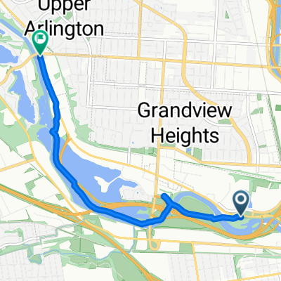
Olentangy/Alum Creek Loop
A cycling route starting in Grandview Heights, Ohio, United States of America.
Overview
About this route
- 2 h 59 min
- Duration
- 50.3 km
- Distance
- 179 m
- Ascent
- 182 m
- Descent
- 16.8 km/h
- Avg. speed
- 288 m
- Avg. speed
Route quality
Waytypes & surfaces along the route
Waytypes
Cycleway
30 km
(60 %)
Quiet road
12 km
(24 %)
Surfaces
Paved
31.3 km
(62 %)
Asphalt
30.2 km
(60 %)
Paving stones
0.9 km
(2 %)
Continue with Bikemap
Use, edit, or download this cycling route
You would like to ride Olentangy/Alum Creek Loop or customize it for your own trip? Here is what you can do with this Bikemap route:
Free features
- Save this route as favorite or in collections
- Copy & plan your own version of this route
- Sync your route with Garmin or Wahoo
Premium features
Free trial for 3 days, or one-time payment. More about Bikemap Premium.
- Navigate this route on iOS & Android
- Export a GPX / KML file of this route
- Create your custom printout (try it for free)
- Download this route for offline navigation
Discover more Premium features.
Get Bikemap PremiumFrom our community
Other popular routes starting in Grandview Heights
- Olentangy/Alum Creek Loop
- Distance
- 50.3 km
- Ascent
- 179 m
- Descent
- 182 m
- Location
- Grandview Heights, Ohio, United States of America
- Camp Chase to Olentangy
- Distance
- 3.4 km
- Ascent
- 8 m
- Descent
- 10 m
- Location
- Grandview Heights, Ohio, United States of America
- Team CARE Training Ride 2
- Distance
- 78.8 km
- Ascent
- 176 m
- Descent
- 179 m
- Location
- Grandview Heights, Ohio, United States of America
- BIG LOOP
- Distance
- 48.4 km
- Ascent
- 106 m
- Descent
- 109 m
- Location
- Grandview Heights, Ohio, United States of America
- Diesel Blood Ride
- Distance
- 20.7 km
- Ascent
- 74 m
- Descent
- 74 m
- Location
- Grandview Heights, Ohio, United States of America
- Tom's How We Roll Leader Training Route
- Distance
- 6.7 km
- Ascent
- 27 m
- Descent
- 26 m
- Location
- Grandview Heights, Ohio, United States of America
- Ride 2
- Distance
- 36.4 km
- Ascent
- 49 m
- Descent
- 48 m
- Location
- Grandview Heights, Ohio, United States of America
- Greenway to socioto
- Distance
- 33.3 km
- Ascent
- 84 m
- Descent
- 84 m
- Location
- Grandview Heights, Ohio, United States of America