Okolo Lyse Hory
A cycling route starting in Ostravice, Moravskoslezský kraj, Czechia.
Overview
About this route
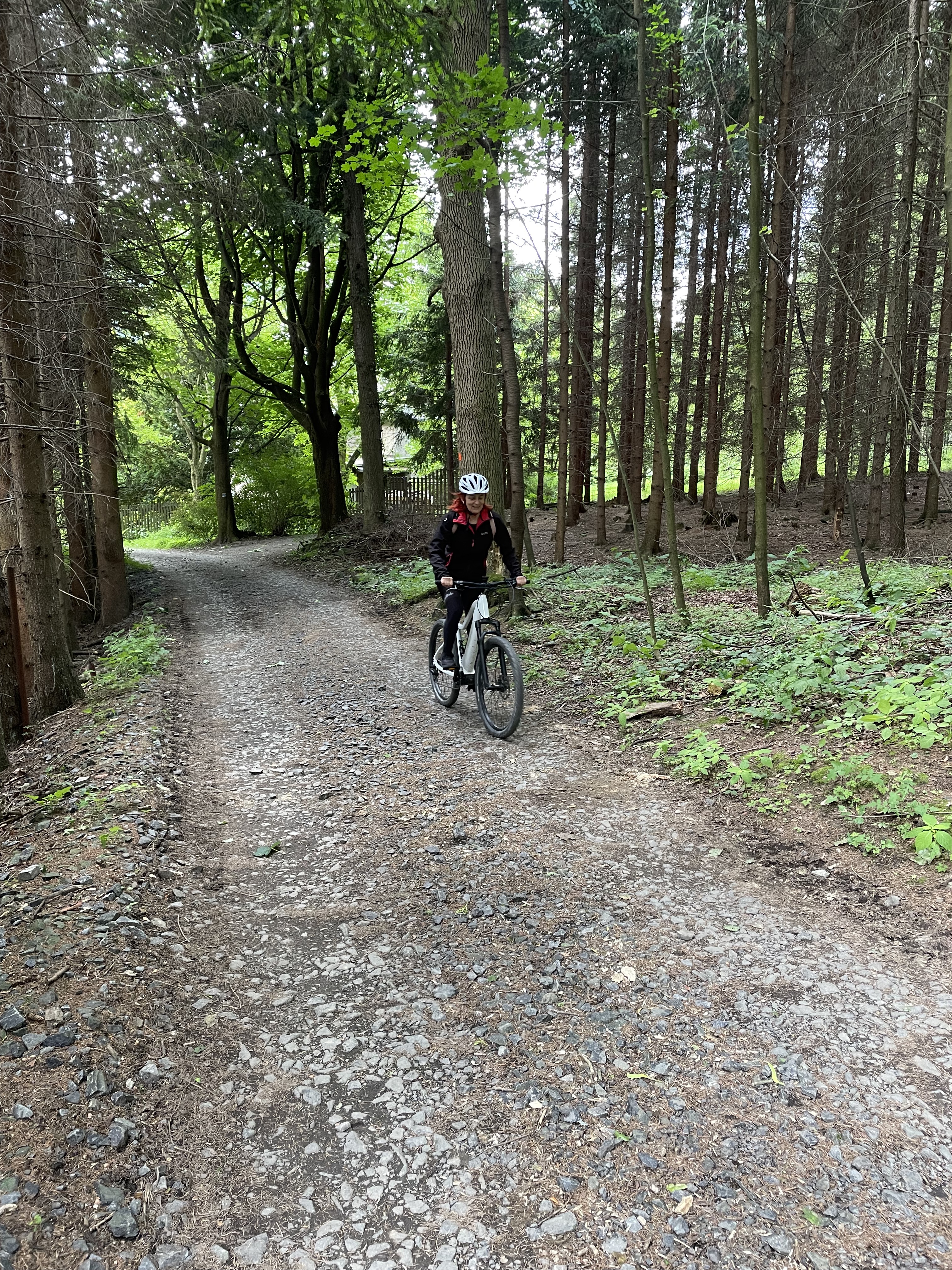
The route of the MTB competition "Around Lysá Hora" takes place annually in September. A beautiful route on gravel roads, partly on asphalt roads and in terrain around the highest peak of the Moravian-Silesian Beskids. You can also deviate from the route and ascend to the summit of Lysá Hora at 1328 m.
- -:--
- Duration
- 34.4 km
- Distance
- 1,143 m
- Ascent
- 1,143 m
- Descent
- ---
- Avg. speed
- ---
- Max. altitude
Route highlights
Points of interest along the route
Point of interest after 0 km
START/META
Continue with Bikemap
Use, edit, or download this cycling route
You would like to ride Okolo Lyse Hory or customize it for your own trip? Here is what you can do with this Bikemap route:
Free features
- Save this route as favorite or in collections
- Copy & plan your own version of this route
- Sync your route with Garmin or Wahoo
Premium features
Free trial for 3 days, or one-time payment. More about Bikemap Premium.
- Navigate this route on iOS & Android
- Export a GPX / KML file of this route
- Create your custom printout (try it for free)
- Download this route for offline navigation
Discover more Premium features.
Get Bikemap PremiumFrom our community
Other popular routes starting in Ostravice
- Výjezd na Lysou horu z Ostravice
- Distance
- 15 km
- Ascent
- 1,043 m
- Descent
- 189 m
- Location
- Ostravice, Moravskoslezský kraj, Czechia
- Ostravice - Lysá Hora
- Distance
- 15.6 km
- Ascent
- 1,001 m
- Descent
- 108 m
- Location
- Ostravice, Moravskoslezský kraj, Czechia
- Šance - Bílý Kříž - Gruň - Hamry - Šance
- Distance
- 37.3 km
- Ascent
- 852 m
- Descent
- 852 m
- Location
- Ostravice, Moravskoslezský kraj, Czechia
- Krásná - Lysá
- Distance
- 12.9 km
- Ascent
- 717 m
- Descent
- 140 m
- Location
- Ostravice, Moravskoslezský kraj, Czechia
- Lysá hora a Beskydy
- Distance
- 27.5 km
- Ascent
- 1,242 m
- Descent
- 1,248 m
- Location
- Ostravice, Moravskoslezský kraj, Czechia
- z Malenovic na Lysou a zpět
- Distance
- 23.2 km
- Ascent
- 841 m
- Descent
- 841 m
- Location
- Ostravice, Moravskoslezský kraj, Czechia
- Ostravice - Kozlovice - Hukvaldy - Kunčice - Čeladná
- Distance
- 45.3 km
- Ascent
- 457 m
- Descent
- 457 m
- Location
- Ostravice, Moravskoslezský kraj, Czechia
- Grun - Bily Kriz - Visalaje - Lysa Hora
- Distance
- 32.1 km
- Ascent
- 1,046 m
- Descent
- 1,040 m
- Location
- Ostravice, Moravskoslezský kraj, Czechia
Open it in the app