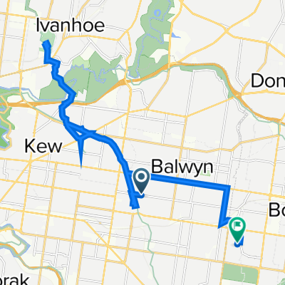
East Camberwell to Alphington Station
- 7.9 km
- 47 m
- 83 m
- Balwyn, Victoria, Australia
A cycling route starting in Balwyn, Victoria, Australia.
Overview
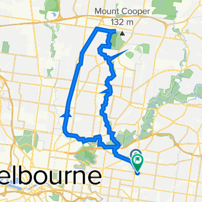
Thursday, February 14, 2019 9:30 AM AEDTElevation: 229 feet - Thursday, February 14, 2019 1:22 PM AEDTElevation: 222 feet - Statistics computed from imported dataThursday, February 14, 2019 9:30 AM AEDTDistance: 25.2 milesDuration: 3 hours, 52 minutes, and 7 secondsAverage Speed: 6.5 mphMinimum Elevation: 47 feetMaximum Elevation: 352 feetTotal climb: 646 feetTotal descent: 657 feet -
created this 3 years ago
Route quality
Cycleway
31.7 km
(78 %)
Quiet road
2.8 km
(7 %)
Paved
39 km
(96 %)
Concrete
25.6 km
(63 %)
Asphalt
11.4 km
(28 %)
Continue with Bikemap
You would like to ride Darebin Creek Loop via Cedar Bakery or customize it for your own trip? Here is what you can do with this Bikemap route:
Free trial for 3 days, or one-time payment. More about Bikemap Premium.
Discover more Premium features.
Get Bikemap PremiumFrom our community
Open it in the app