

Ruta a Cruce Longitudinal (Lo Pinto) - San José, Lampa
A cycling route starting in Chicureo, Santiago Metropolitan, Chile.
Overview
About this route
- 1 h 38 min
- Duration
- 20.4 km
- Distance
- 75 m
- Ascent
- 64 m
- Descent
- 12.4 km/h
- Avg. speed
- 544 m
- Max. altitude

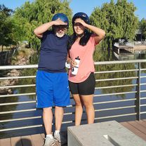
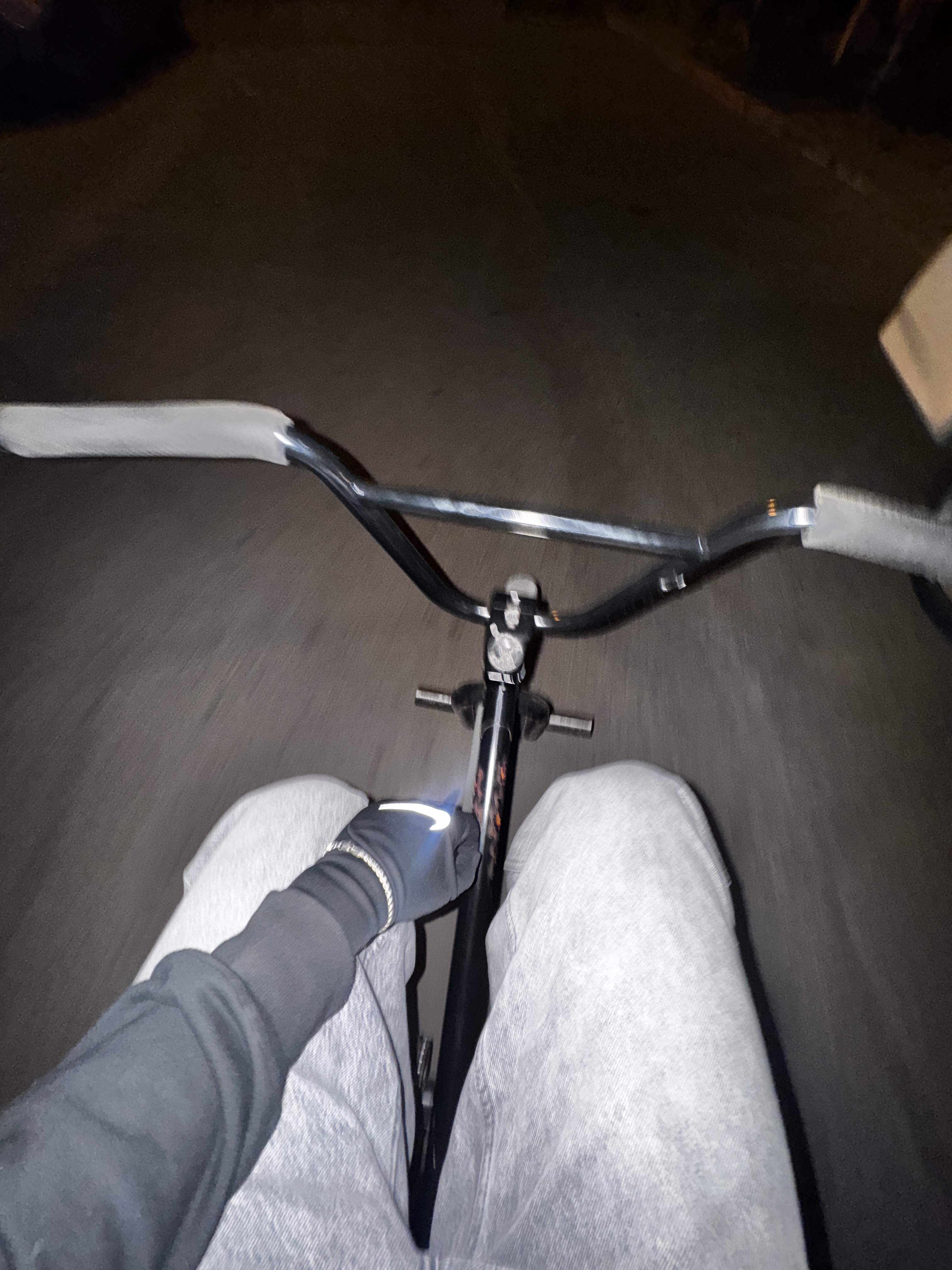
Route photos
 - San José, Lampa\"")
Route quality
Waytypes & surfaces along the route
Waytypes
Busy road
14.7 km
(72 %)
Cycleway
2.1 km
(10 %)
Surfaces
Paved
17.8 km
(87 %)
Asphalt
13.7 km
(67 %)
Paved (undefined)
3.9 km
(19 %)
Continue with Bikemap
Use, edit, or download this cycling route
You would like to ride Ruta a Cruce Longitudinal (Lo Pinto) - San José, Lampa or customize it for your own trip? Here is what you can do with this Bikemap route:
Free features
- Save this route as favorite or in collections
- Copy & plan your own version of this route
- Sync your route with Garmin or Wahoo
Premium features
Free trial for 3 days, or one-time payment. More about Bikemap Premium.
- Navigate this route on iOS & Android
- Export a GPX / KML file of this route
- Create your custom printout (try it for free)
- Download this route for offline navigation
Discover more Premium features.
Get Bikemap PremiumFrom our community
Other popular routes starting in Chicureo
 De Esmeralda 1109, Colina a Padre Soto 280, Colina
- Distance
- 14.2 km
- Ascent
- 223 m
- Descent
- 199 m
- Location
- Chicureo, Santiago Metropolitan, Chile
 De Panguilemu 299, Quilicura a Panguilemu 307, Quilicura
- Distance
- 12.5 km
- Ascent
- 40 m
- Descent
- 29 m
- Location
- Chicureo, Santiago Metropolitan, Chile
 Santuario Huinganal Enduro
- Distance
- 55.6 km
- Ascent
- 2,496 m
- Descent
- 2,496 m
- Location
- Chicureo, Santiago Metropolitan, Chile
 Huinganal - santuario de la naturaleza CLONED FROM ROUTE 831605
- Distance
- 22.8 km
- Ascent
- 747 m
- Descent
- 848 m
- Location
- Chicureo, Santiago Metropolitan, Chile
 Ruta a Cruce Longitudinal (Lo Pinto) - San José, Lampa
- Distance
- 20.4 km
- Ascent
- 75 m
- Descent
- 64 m
- Location
- Chicureo, Santiago Metropolitan, Chile
 Avenida Pedro Fontova, Huechuraba a Nahuelbuta, Conchalí
- Distance
- 6.8 km
- Ascent
- 49 m
- Descent
- 52 m
- Location
- Chicureo, Santiago Metropolitan, Chile
 De Hualañe 308, Quilicura a Panguilemu 307, Quilicura
- Distance
- 16.3 km
- Ascent
- 189 m
- Descent
- 168 m
- Location
- Chicureo, Santiago Metropolitan, Chile
 Los Datiles 6185, Huechuraba a Los Datiles 6185, Huechuraba
- Distance
- 11 km
- Ascent
- 64 m
- Descent
- 64 m
- Location
- Chicureo, Santiago Metropolitan, Chile
Open it in the app