

Salisbury - Streatley o Thames
A cycling route starting in Salisbury, England, United Kingdom.
Overview
About this route
Gefahren am 01.08.1986
Suedenglandtour 86
- -:--
- Duration
- 120.8 km
- Distance
- 364 m
- Ascent
- 350 m
- Descent
- ---
- Avg. speed
- ---
- Max. altitude

Route quality
Waytypes & surfaces along the route
Waytypes
Road
56.9 km
(47 %)
Busy road
46.9 km
(39 %)
Surfaces
Paved
58.9 km
(49 %)
Unpaved
3.7 km
(3 %)
Asphalt
55.3 km
(46 %)
Paved (undefined)
3.6 km
(3 %)
Route highlights
Points of interest along the route
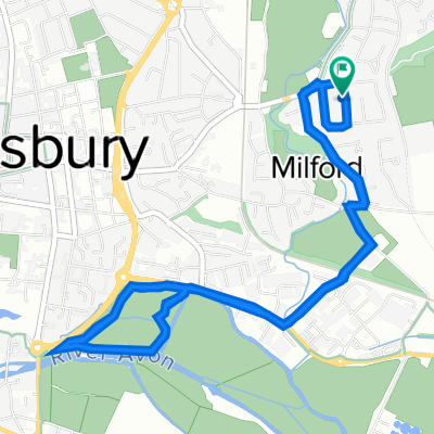
Point of interest after 19.2 km
Stonehenge
Continue with Bikemap
Use, edit, or download this cycling route
You would like to ride Salisbury - Streatley o Thames or customize it for your own trip? Here is what you can do with this Bikemap route:
Free features
- Save this route as favorite or in collections
- Copy & plan your own version of this route
- Split it into stages to create a multi-day tour
- Sync your route with Garmin or Wahoo
Premium features
Free trial for 3 days, or one-time payment. More about Bikemap Premium.
- Navigate this route on iOS & Android
- Export a GPX / KML file of this route
- Create your custom printout (try it for free)
- Download this route for offline navigation
Discover more Premium features.
Get Bikemap PremiumFrom our community
Other popular routes starting in Salisbury
 Slow ride in Pewsey
- Distance
- 34.2 km
- Ascent
- 373 m
- Descent
- 322 m
- Location
- Salisbury, England, United Kingdom
 Steady ride in Salisbury
- Distance
- 7.1 km
- Ascent
- 8 m
- Descent
- 4 m
- Location
- Salisbury, England, United Kingdom
 School House, 1 The Avenue, Salisbury to Holly House, The Avenue, Salisbury
- Distance
- 13.9 km
- Ascent
- 109 m
- Descent
- 110 m
- Location
- Salisbury, England, United Kingdom
 Salisbury return52
- Distance
- 83.3 km
- Ascent
- 320 m
- Descent
- 365 m
- Location
- Salisbury, England, United Kingdom
 Salisbury - Streatley o Thames
- Distance
- 120.8 km
- Ascent
- 364 m
- Descent
- 350 m
- Location
- Salisbury, England, United Kingdom
 Kimbridge barn Via Winterslow
- Distance
- 63.9 km
- Ascent
- 294 m
- Descent
- 298 m
- Location
- Salisbury, England, United Kingdom
 Old Blandford Road 16 to Chiselbury Grove 1
- Distance
- 39 km
- Ascent
- 1,239 m
- Descent
- 1,246 m
- Location
- Salisbury, England, United Kingdom
 Lechford loop Breeze
- Distance
- 85.9 km
- Ascent
- 335 m
- Descent
- 337 m
- Location
- Salisbury, England, United Kingdom
Open it in the app